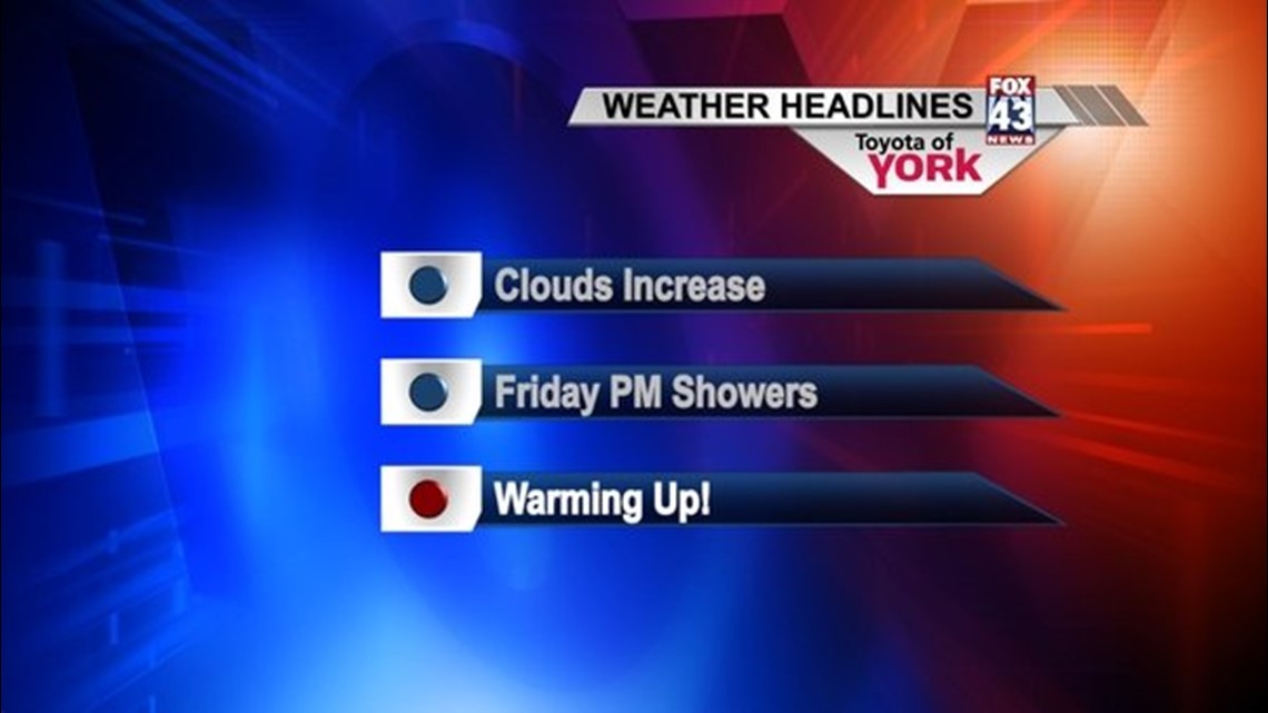
It was a great looking Thursday with sunshine and a continuation of mild temperatures. A storm system moving through the Great Lakes will drag a cold front into the area Friday, starting a nice warm up for the weekend. Temperatures expected well into the 50s.
TONIGHT
High clouds continue to spread into the area. Temperatures should be able to drop into the upper 20s to low 30s as low and mid level clouds arrive tomorrow morning.
TOMORROW
A few spotty showers will be possible early morning mainly north and west of the turnpike. Concern will be for freezing drizzle for areas that dip below freezing. Precip will be short lived and shouldn’t pose much of a problem at this point. Our best chance for rain showers will arrive in the afternoon. With the clouds and showers, highs are expected in the low to mid 40s.
WEEKEND
Strong ridge in the upper levels strengthens for the weekend. Flow sets up out of the southwest and helps to boost our temperatures into the 50s. Saturday’s record for Harrisburg International is 60. Skies will be a mix of clouds and some sunshine. Overnight lows Saturday into Sunday will be very mild in the 40s. We head back into the 50s to near 60 Sunday with showers arriving later towards evening.
EARLY NEXT WEEK
There will be several disturbances that will keep the threat for rain in the forecast. Temperatures will still be mild Monday but once the front passes early, temperatures will be falling through the day. Much colder air follows and drops our temperatures back to the 40s for Tuesday and Wednesday. We’ll see near seasonal averages, in the 30s, by Thursday.
~MaryEllen Pann,
Chief Meteorologist
Facebook: maryellenpannfox43
Twitter: @MaryEllenFox43