
ARCTIC FREEZE: As advertised, the brutally cold air is upon us. It feels that much worse with this weekend’s temps hitting 50°. Now we’ll struggle to reach 20° for a high! The coldest air of the season is here to stay, with the coldest feel today.
Get out and start that car early and make sure you have a wind breaking jacket or at least some layers (including gloves, scarves and secured hats), because it’s frigid this morning. Strong northwesterly flow will continue to pump arctic air into the commonwealth today. Despite sunshine mixing with clouds today, the cold air wins. Highs will struggle to hit 20°. Winds kick around at 15-25mph holding wind chills in the single digits all day long! Red cheek alert for today. A few flurries are possible throughout the day.
Tonight, we’re partly cloudy and still windy cold. We drop to near 10° with wind chills nearing zero by daybreak. The winds relax Wednesday but we’re only going to reach the low 20s for highs. Clouds thicken a bit as a weak wave of energy moves through. This could bring an extra snow shower or two in addition to scattered flurries. Thursday is cold, but we’ll see more sunshine and highs hit the middle 20s.
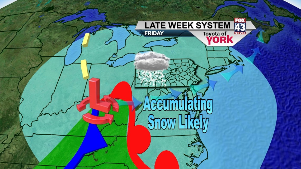
FRIDAY SNOW: We’re still monitoring the development of a low pressure system for Friday. Energy from Canada will race southeast as moisture from the south catches up Thursday night. It looks now as if the snow will begin Friday morning, with the heaviest falling during the day before tapering Friday night. It’s too early for numbers, but accumulations look likely. We’ll keep you up to speed through the week. Highs Friday will top out near 30°.

WEEKEND: Saturday looks windy and cold as Friday’s system punches another shot of cold air into the state. We’ll see some lingering flurries or snow showers and temps are held in the low to mid 20s. High pressure moves in for Sunday which clears our skies and allows temps to warm to near 30°. The warming trend continues into Monday with highs back in the middle 30s.
Enjoy this Tuesday and it’s okay to take the blanket with you today!
– Jeff Jumper, Fox43 Morning Meteorologist
Follow me on Twitter: @JeffJumperWX
Like me on Facebook: Jeff Jumper Fox43