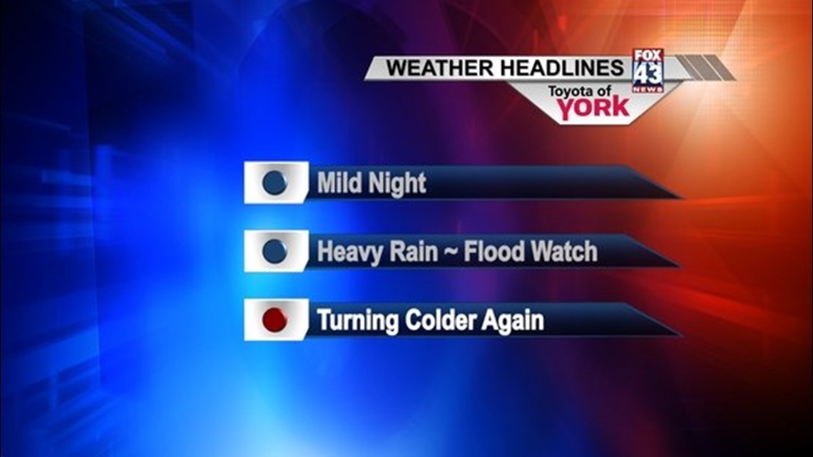
We are still in the month of January and just 7 days ago, high temps never got out of the 20s. Today, we were well into the 50s and we’ll continue with the mild weather another day. A very powerful cold front coming in from the west will bring showers by the afternoon. The rain will get heavier into the evening and there could be embedded thunderstorms as well.
Rainfall amounts may top over an inch and with the recent snow melt, flooding is a concern on the smaller creeks and streams. The National Weather Service issued a FLOOD WATCH that goes into effect tomorrow afternoon.
Colder air follows the front causing temps to tumble through the day Thursday. Winds will be blustery making 30s feel much colder. By Friday, the first day of February, it will feel like winter again with highs in the upper 20s to near 30 under partly cloudy skies.
WEEKEND OUTLOOK
Partly sunny both Saturday and Sunday. Chance for snow showers early on Sunday. Highs in the low 30s.
NEXT WEEK
Temperatures are more seasonal early next week with partly to mostly cloudy skies Monday and Tuesday.
~MaryEllen Pann,
Chief Meteorologist
Facebook: maryellenpannfox43
Twitter: @MaryEllenFox43