
It will be very mild tonight under partly to mostly cloudy skies. Lows will be well above average dropping only to the mid and upper 50s. Winds will continue out of the south 5 to 10mph before shifting more westerly tomorrow.
WHO TURNED ON THE HEAT!!
Temperatures soared into the 70s today and it looks to remain warm and well above average for several days.

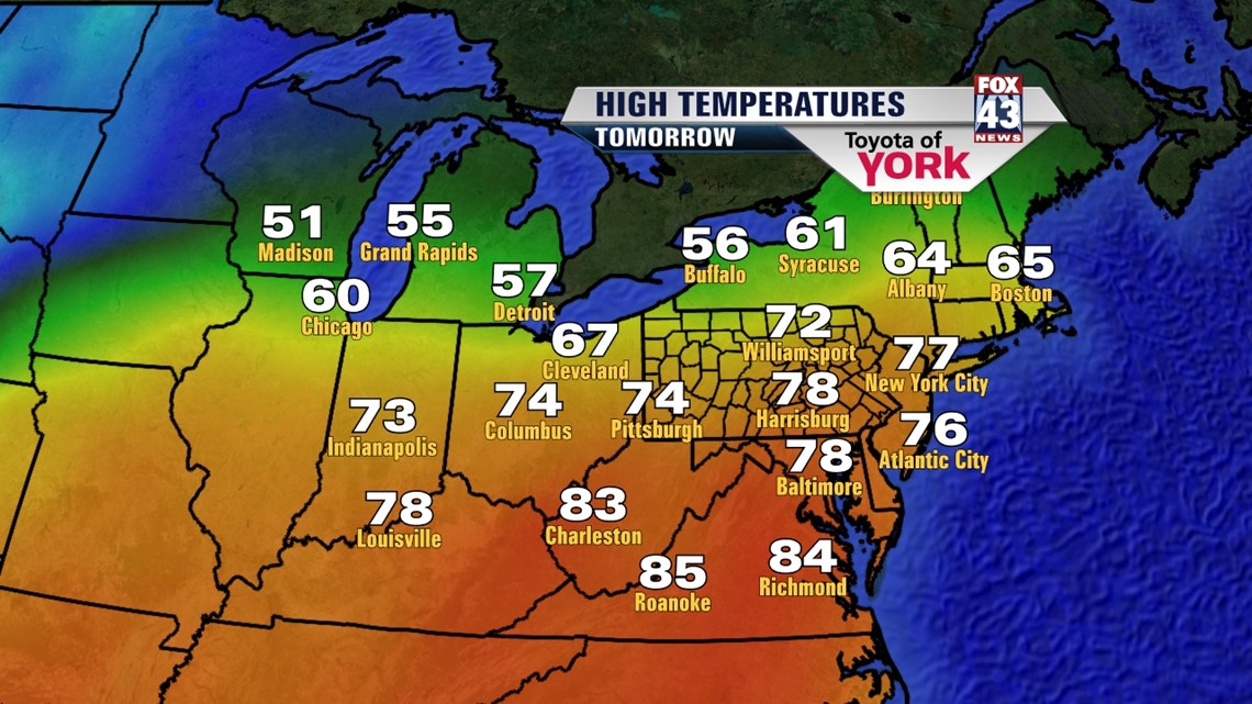
We are likely to even hit the 80s the next couple of days. There is only an isolated chance for a pop up shower or rumble of thunder the next two days otherwise, expect few passing clouds from time to time and a light warm breeze.
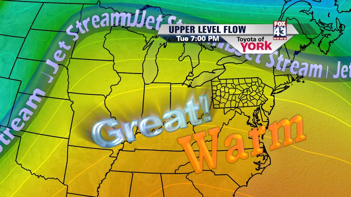
The jet stream is well north and that is allowing the warmer air to settle in across the Mid-Atlantic.

We don’t see the ridge breaking down until Thursday. A cold front drops south and brings a chance for showers and thunderstorms. Temperatures will still be warm ahead of the front but the front doesn’t actually cross the area until early Friday, at which time, much cooler, more seasonal air follows it. There is an outside chance of severe weather and we’ll be keeping an eye on things should we see severe storms develop later this week.
MORE SEASONAL AND COOLER BY THE WEEKEND
Temperatures return to more seasonal averages around 60 degrees as we head into next weekend. Plenty of sunshine and dry hours to get out and catch up on spring planting or outdoor fun.
Enjoy the warmer temperatures!
MaryEllen Pann, Chief Meteorologist
Like me on Facebook: maryellenpannfox43
Follow me on Twitter: @MaryEllenFox43