
STAYING UNSETTLED

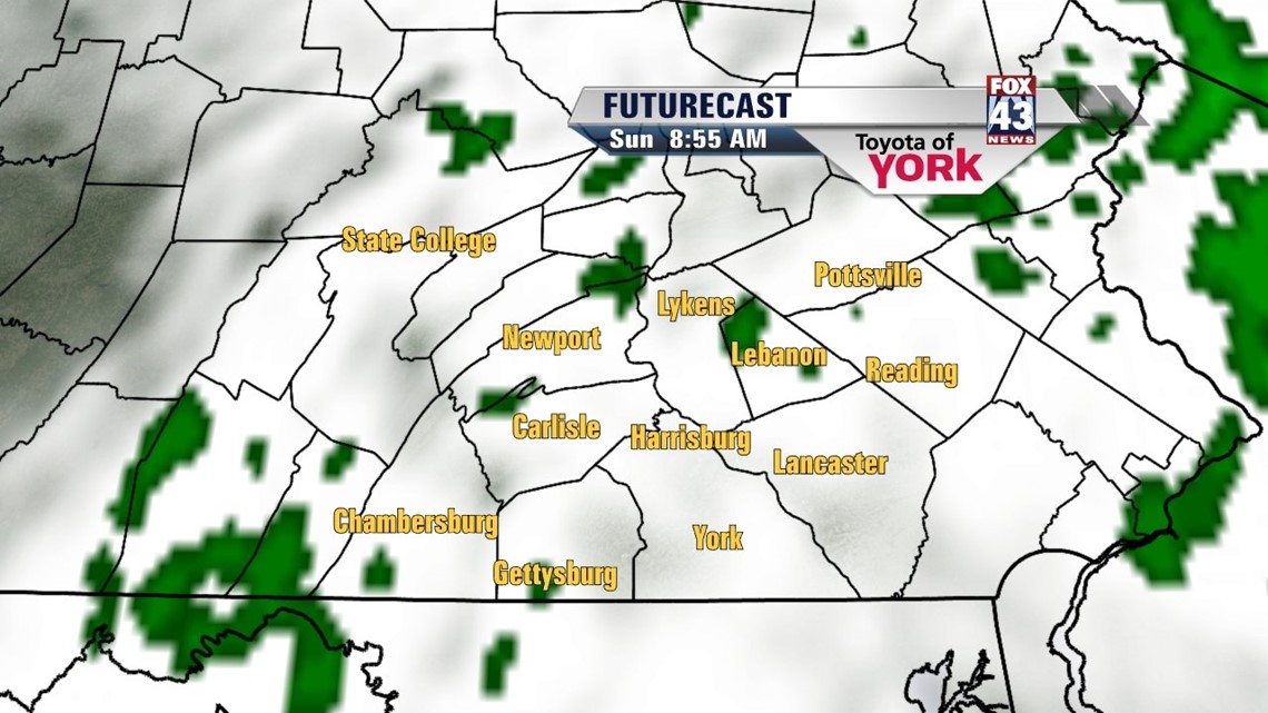
A weak stationary boundary combined with a southeasterly flow keeps the rest of the weekend unsettled. Through the overnight period, some hit-or-miss showers stay in the forecast. Lows reach the upper 50s to lower 60s. Sunday still looks to be showery, especially during the morning. Expect scattered showers across the region. By the afternoon, the activity should taper a bit, with some peeks of afternoon sunshine possible. Highs reach the upper 60s to lower 70s depending on sunshine.
TURNING VERY WARM
Monday the pattern begins to warm dramatically. There is the possibility for some showers, mainly during the morning. Afternoon drying allows temperatures to reach the middle to upper 70s as a strong upper level ridge sets up. Tuesday looks to be the warmest day of the week, with highs reaching the middle 80s. There is the chance for a few isolated thunderstorms with a front that sets up to our north. Wednesday we see a better chance for thunderstorms as this front creeps closer, but high temperatures should remain unseasonably warm, in the lower 80s.
COOLING BACK DOWN
A front swings through the area Thursday, keeping scattered showers and thunderstorms in the forecast. Highs fall back into the 70s. Friday dries out, with temperatures near the 70 degree mark. Saturday looks to be much cooler, with more by way of sunshine. Highs reach the middle 60s.
Enjoy the rest of your weekend!
-Andrea Michaels