


WARMER WITH MORE SUN
An area of low pressure off of the coast continues to lift northeast this morning, and that will translate into more sunshine for Friday. A few clouds are expected to begin the morning, especially east. Then more sunshine works quickly back into the region. Temperatures moderate a little, reaching the upper 70s to lower 80s across the Lower Susquehanna Valley. A cold front out to our west slowly advances this way through the day. By the overnight period, some clouds start building back into the region. Low temperatures will not be nearly as chilly, but still nice and comfortable in the lower to middle 60s.
UNSETTLED WEEKEND

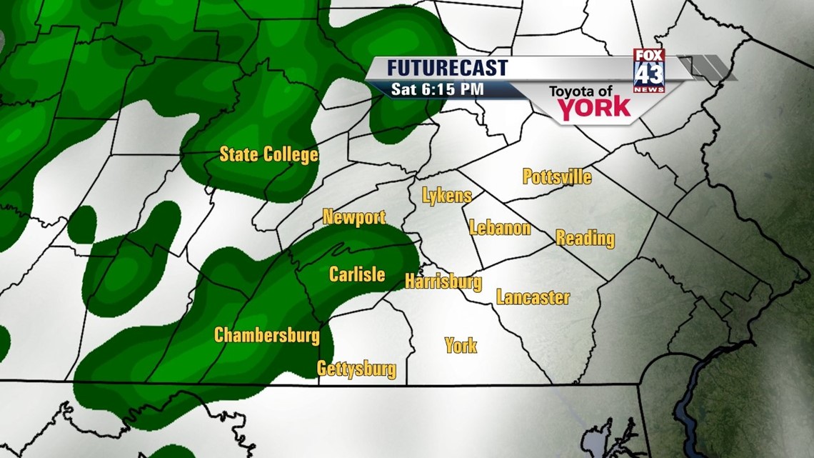
The cold front advances gradually enough to keep most of Saturday dry. However, as we get into the late afternoon and evening hours, a couple showers and thunderstorms cannot be ruled out. High temperatures Saturday reach the lower to middle 80s. More by way of rainfall is expected for Sunday with the cold front’s passage. The rain could become heavy at times. The rain keeps highs cooled to near 80 degrees.
KEEPING THE HEAT AWAY
Once the cold front exits, sunshine returns Monday, but there are some clouds to contend with as well. High temperatures reach the lower 80s. Tuesday warms back to seasonable averages in the middle 80s. A mixture of sunshine and clouds is still expected. There are some questions hovering around the midweek forecast. We’ll be watching the path of a disturbance. Depending on how low to our south it dips, some showers will be possible for the middle of the week. Should the path dip a bit more to the south, our region stays dry. Highs remain near seasonable averages.
Have a great weekend!
-Andrea Michaels