
UNSETTLED: A lobe of energy in the upper levels will be spiraling well to our northwest in Canada over the next few days. Like spokes on a bicycle wheel, chunks of energy will spiral east over the Northeast. This brings clouds and a shot at some rain for the remainder of the week.
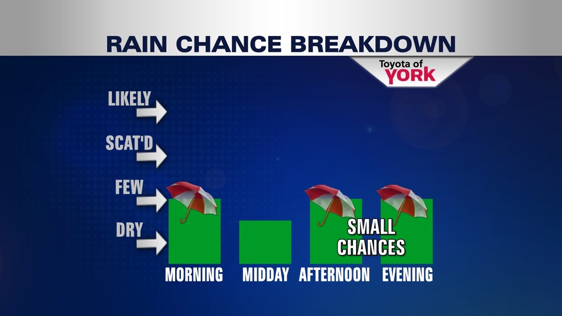
Today, we’re mostly cloudy and still unseasonably mild, with temperatures hanging out in the upper 70s for highs. A small chance for a shower or t-storm exists today, but not everyone will get wet. Tonight, we drop to the middle 60s.

We start to get sticky humidity wise by mid week. Wednesday, a more potent chunk of energy slides by giving us a good chance for showers and thunderstorms during the day. Highs are in the upper 70s.
Thursday, we’re back down to a small chance for storms and highs will be back to the middle 80s as warmer and more humid air is forced northward. Friday we’re in the middle 80s with another good shot at showers and t-storms.
WEEKEND: Saturday looks like a transition day as drier air begins to filter in. Rain will be shoved south, lingering close to the PA/MD border. We’re warm in the middle 80s as humidity drops through the day. Sunday, some cooler and drier air settles in keeping us generally sunny and comfy. This feel lasts into Monday.
Have a terrific Tuesday!
“We do not live in the past, but the past in us.” – U.B. Phillips
– Jeff Jumper, WPMT Fox43 Morning Meteorologist
Follow me on Twitter: @JeffJumperWX
Like me on Facebook: Jeff Jumper Fox43