

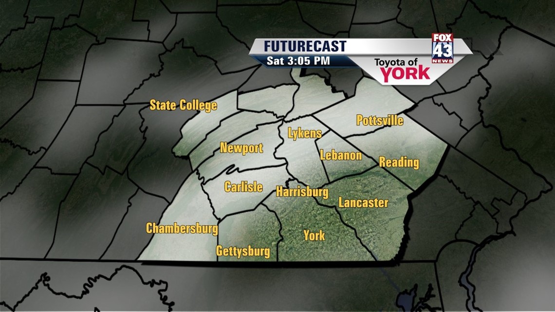
CLOUDS SLOWLY THICKEN

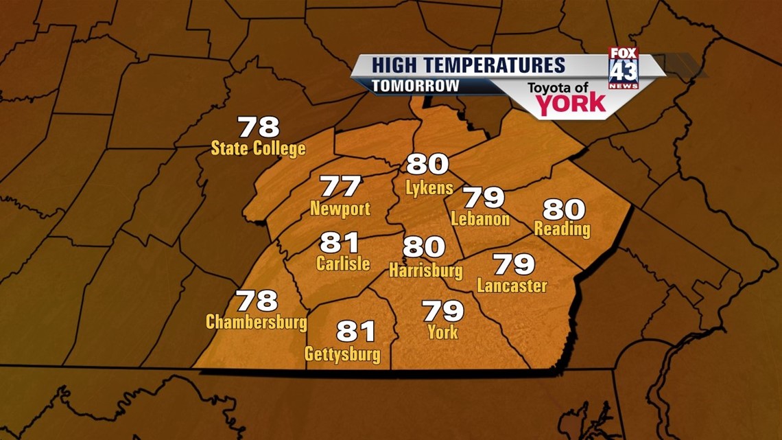
High pressure is currently still in control of our weather, but as it continues to shift out to sea, things start changing. Skies are mostly clear through the overnight period, and it’s another comfortable night. Low temperatures fall into the upper 50s to lower 60s. With high pressure off the coast on Saturday, we tap into more of an east/southeasterly flow. With moisture creeping in from the south, this helps to increase clouds slowly through the day. It’s a dry and comfortable day regardless. Highs reach the upper 70s across the region.
SMALL RAIN CHANCES
Sunday a small chance for some showers enters the picture. Skies are mostly cloudy. The abundance of clouds and a continued moist flow should be enough to keep highs stuck in the 70s. Monday expect a continued shower chance. Highs are near 80 degrees, which is still below seasonable averages for this time in August.
WARMING UP
Tuesday the shower threat tapers. High pressure builds into the area, this time bringing a much warmer flow into the Lower Susquehanna River Valley. This persists through Friday. Temperatures begin in the middle 80s Tuesday, and then rise into the upper 80s Wednesday through Friday. It’s the return of summer many of us have been waiting for! There will be a chance for a couple of thunderstorms Friday, but the entire midweek looks mainly dry.
Have a great weekend!
-Andrea Michaels