

SHOWER CHANCE STAYS ON MONDAY
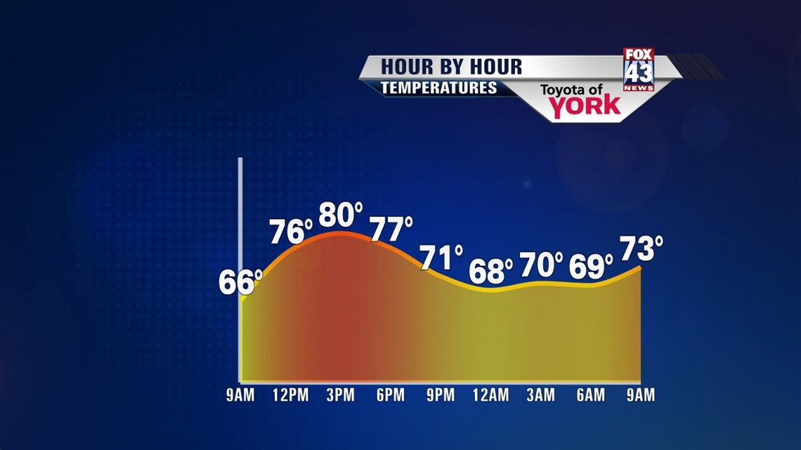
Some upper level pieces of energy in the atmosphere are going to keep a shower chance in the forecast on Monday. Skies are mainly cloudy to start, with some patchy areas of fog for some. A shower or two is not out of the question. The clouds continue to hang across the region, but some more breaks of sun are expected this afternoon than yesterday. A few showers are also possible, perhaps a thunderstorm. Highs are in the upper 70s to lower 80s, which is still below seasonable averages for this time in August. Skies gradually clear Monday night, with lows in the lower to middle 60s.
WARMING UP


Tuesday the shower threat tapers. High pressure builds into the area, this time bringing a much warmer flow into the Lower Susquehanna River Valley, and a lot more sunshine. This persists through Thursday. Temperatures begin in the middle 80s Tuesday, and then rise into the upper 80s Wednesday through Thursday. It’s the return of summer many of us have been waiting for! There will be a chance for thunderstorms Thursday with an approaching cold front, but the entire midweek looks mainly dry.
BACK TO AVERAGE
The cold front could linger Thursday night into Friday morning, meaning a couple showers are possible early. Skies clear out quickly and dry out the rest of the day. The weekend features plenty of sunshine with seasonable high temperatures in the middle 80s.
Have a great Monday!
-Andrea Michaels