
RAIN THREAT DIMINISHES
Say good bye to the clouds and rain chance. High pressure building in from the Great Lakes will settle in across the area tonight clearing our skies. With a nearly calm wind and a cloud free sky, areas of fog are likely to form by morning especially in the valleys. This may limit visibility for a few hours before it burns off. Lows tonight will dip into the low 60s.

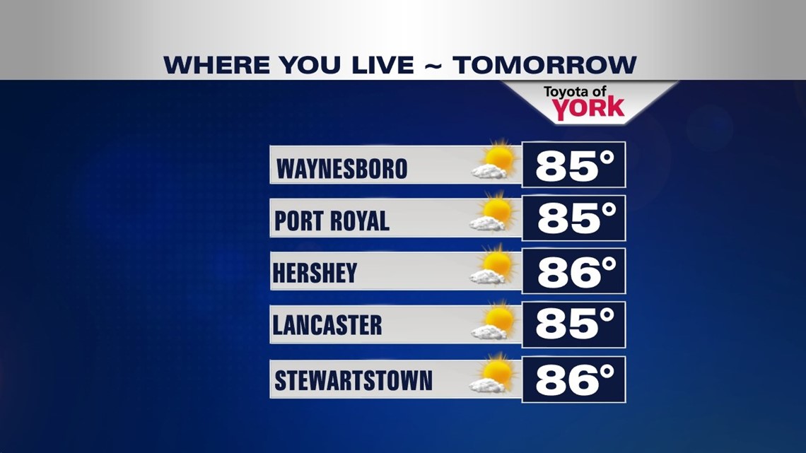
We will finally see full sunshine and that means warmer temperatures back into the mid 80s. Dewpoints will also be on the rise so the humidity which has been in check lately will become more uncomfortable.
SUMMER LOVERS LISTEN UP
Guess what? A ridge builds in meaning summer heat midweek for all you who were wondering if we were done with the hot temps. Expect highs in the upper 80s to near 90 with dew points in the upper 60s to around 70.
It will be another hot one Thursday but a cold front arriving late will bring showers and storms and an end a return to cooler temperatures by the weekend.
COOLER BY THE WEEKEND
Friday may start out with some clouds but the rest of the looking dry with sunshine. It will be still mild with highs in the middle 80s after starting off near 70. Upper level trof swings in along with some energy providing cooler air for the weekend. Lows Saturday will dip back to the low 60s with highs in the low 80s. Still seeing a cool start Sunday and we’ll see increasing clouds through the day as a warm front hangs nearby. Highs will be once again in the low 80s.
With the warm front to our north, we will be warming up for Monday as highs return to the mid 80s. The humidity will creep back up as well.
Make it a great week!
MaryEllen Pann, Chief Meteorologist
Like me on Facebook: maryellenpannfox43
Follow me on Twitter: @MaryEllenFox43