

WARMING UP

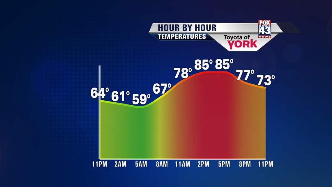
The weekend continues to end on a lovely note, but some changes await us for the new workweek. High pressure continues to move out to sea, but we still get another great night! Low temperatures are into the 50s to near 60 degrees once again. Plenty of clear skies also accompany us. Monday, our next weather maker to the north begins to increase clouds a bit, especially during the afternoon. Temperatures jump a bit too, into the middle to upper 80s.
TURNING UNSETTLED
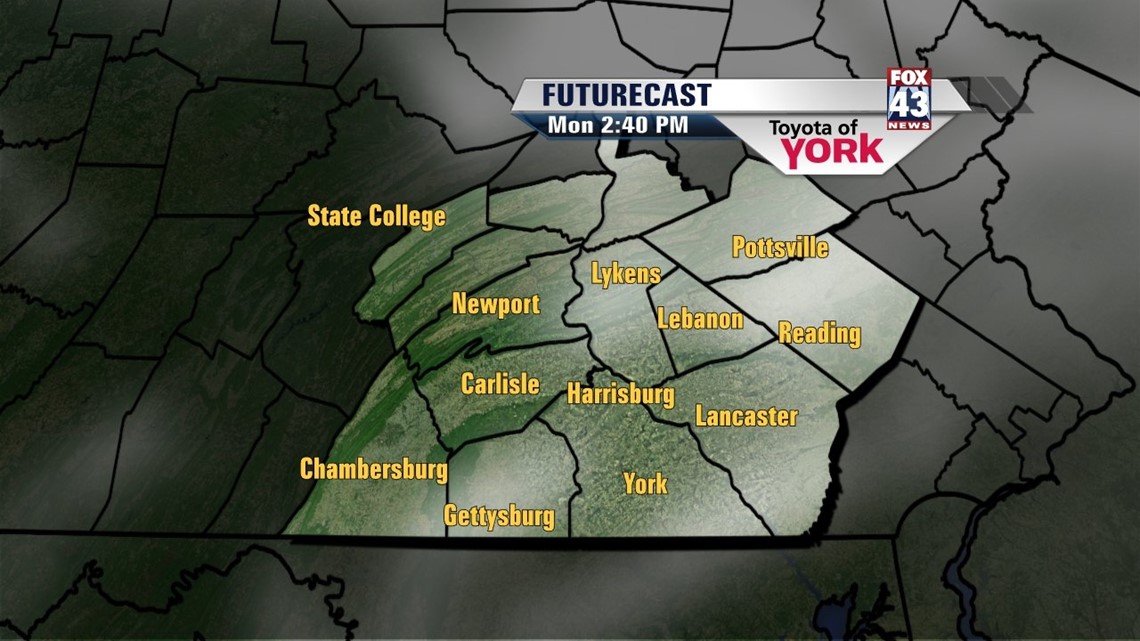
We should stay dry until Monday night through Tuesday, where a chance for some thunderstorms enters the picture. Expect a mixture of sunshine and clouds, with highs in the middle to upper 80s. It stays unsettled into Wednesday, with highs in the lower to middle 80s depending on sunshine.
ANOTHER DECENT STRETCH
Once Wednesday’s low pressure system and cold front pass by, things quiet down again. Dry skies and plenty of sunshine are back Thursday through Sunday. The front won’t bring a drastic change in temperatures, so expect highs in the middle 80s. The humidity drops a little bit too.
Have a great week!
-Andrea Michaels