
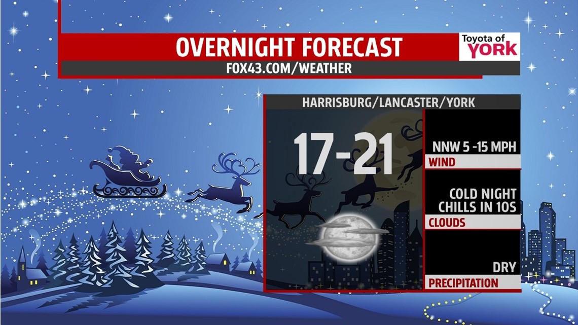
FRIGID NIGHT FOR SANTA
Winds are brisk but should ease up heading into the overnight. A quick moving clipper provided some light snow and flurries to get us into the holiday spirit. Now we are dealing with much colder temperatures. They will plummet to the teens and low 20s tonight.

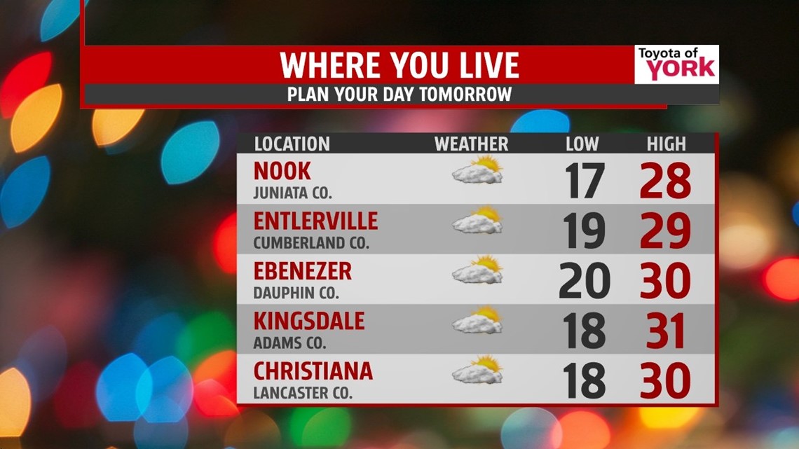
CHRISTMAS DAY
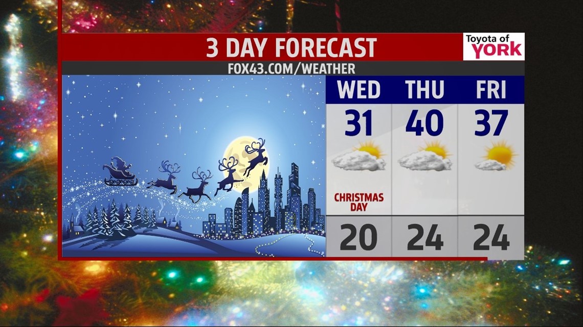
No white Christmas but will be cold enough for snow. Lows will start out in the upper teens and low 20s. Plenty of sunshine will only help to get us to around 30 degrees. Few areas to the south may see low 30s. Winds will be light as high pressure dominates our weather. There will be a disturbance moving through the Great Lakes which may produce a few clouds late in the day but nothing more.

QUIET, DRY STRETCH
Thursday will start out with some clouds and perhaps a few flurries as a quick moving clipper system skirts by. We’ll see more sunshine heading into the afternoon. Highs will be milder near 40. The fast front will knock temps back down for Friday. Plenty of sunshine Friday with high pressure in control but temperatures only warm to the mid and upper 30s. A nice start to the weekend with sunshine and highs in the low 40s. Winds shift for Sunday bringing in milder air boosting temps to the mid 40s under partly to mostly sunny skies.

Rounding out the 2013 year it looks to be quiet but cold Monday with highs in the mid 30s. New Year’s Eve will be even colder with lows in the teens and highs remaining in the 20s but it will be dry for bringing in 2014!
Happy Holidays!
MaryEllen Pann, Chief Meteorologist
Like me on Facebook: maryellenpannfox43
Follow me on Twitter: @MaryEllenFox43