

COLD WITH BUILDING CLOUDS
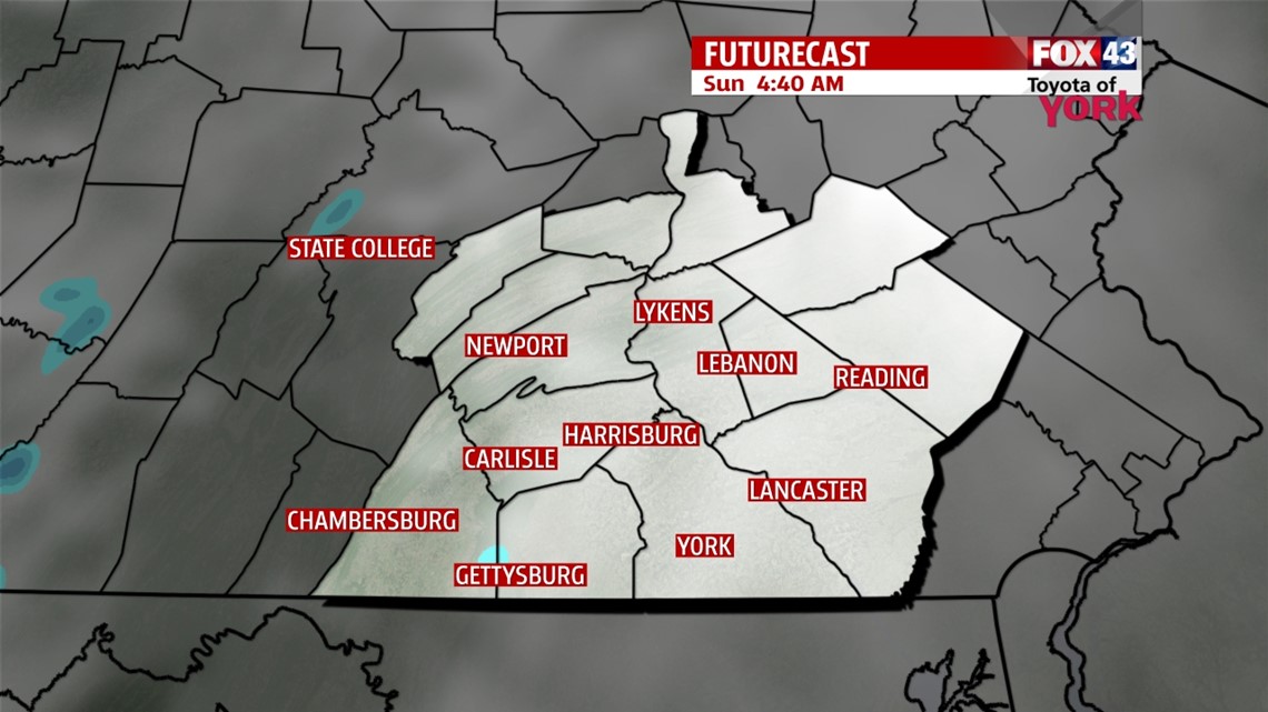
Skies stay clear this evening across the Lower Susquehanna River Valley. This allows temperatures to tumble quickly into the upper teens and lower twenties. The breezes gradually subside too. Another fast moving clipper system races this way through the night. It increases clouds after midnight. It’s not nearly as impressive as Saturday morning’s system, so it only means some flurries late. The chance for flurries lingers into part of the morning as the system quickly exits.
BRIEF WARMING

The breezy conditions return quickly Sunday in the wake of the clipper. Intervals of sunshine poke out during the late morning and afternoon hours across the region. Temperatures warm up bit to seasonal averages. Expect highs in the middle to upper 30s. After some evening clouds, skies clear overnight Sunday. Sunshine begins the day on Monday, but some clouds begin to drop south during the afternoon as colder air begins rushing back into the area. Before that happens, highs come close to 40 degrees Monday.
COLD AIR RETURNS
An arctic air mass slips in overnight Monday into Tuesday. Temperatures fall into the 20s Tuesday under mostly cloudy skies. Sunshine returns Wednesday, but with the arctic air mass settled over the area, highs only reach the teens! A clipper system brings a few snow showers or flurries Thursday, followed by ample sunshine on Friday. Highs are in the upper teens to lower 20s. Saturday our next cold front could bring a few flurries, otherwise it’s a “milder” day with highs near the freezing mark.
Enjoy the rest of your weekend!
-Andrea Michaels