
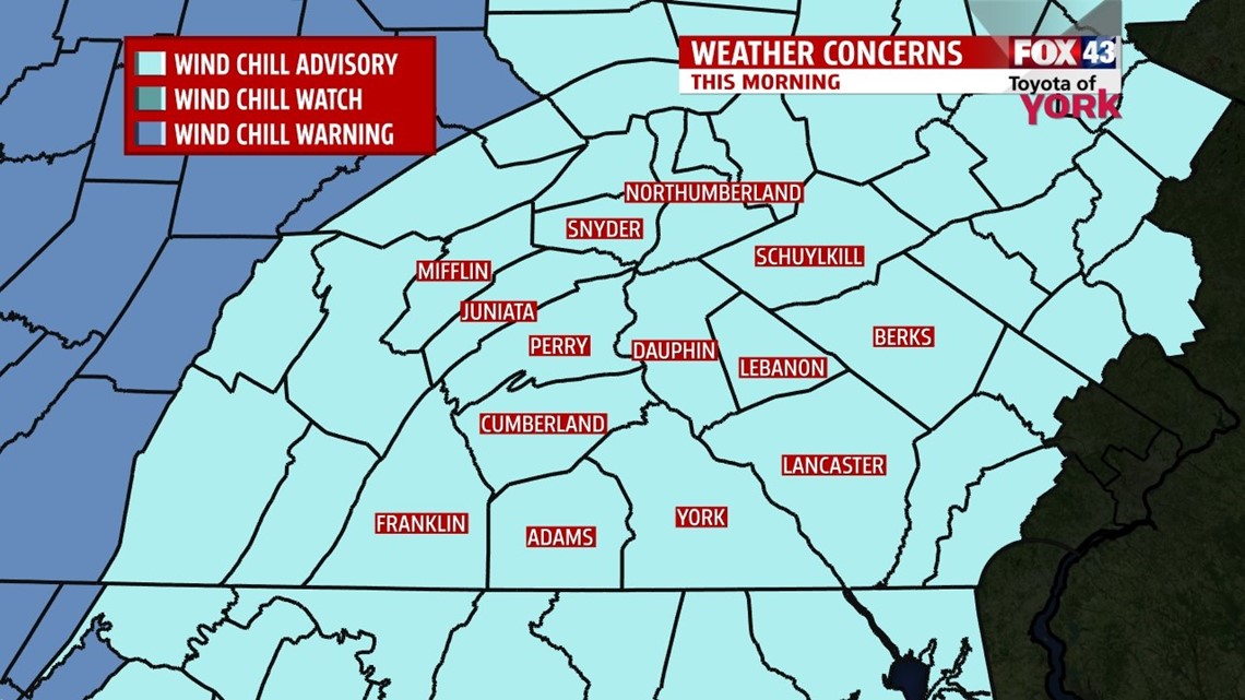
…A WIND CHILL ADVISORY is in effect until 10AM for all of our counties as wind chills are expected to be near -15°. The Advisory for Mifflin County lasts until NOON today…

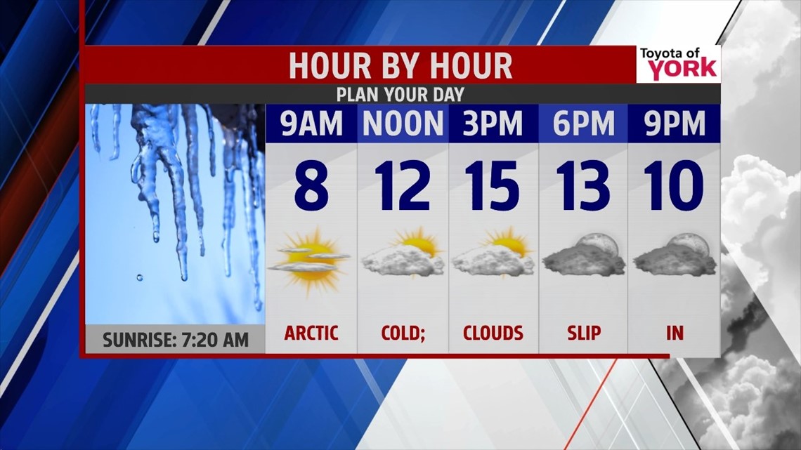
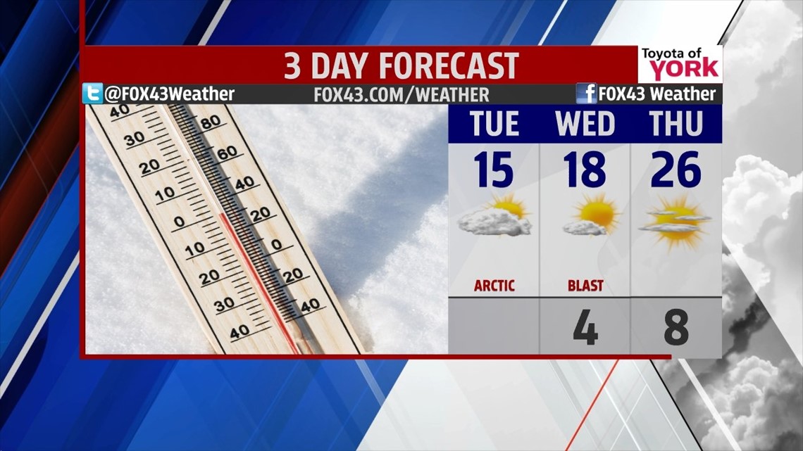
SHIVER: Yup. It’s shiver weather for the next few days, with this morning feeling the most brutal. Winds will make single digits feel more like -10° to -15°. Sun will shine today but clouds from a storms system to our south will fill in across the area. We’re talking highs only in the middle teens. Tonight, we’re back to the single digits, but the wind relaxes a bit. Tuesday, mostly sunny skies prevail with highs around 18°.

GRADUAL WARMING: Let’s not get carried away, but we will warm a bit. By Thursday, we see a few clouds roll in and highs make it to the middle 20s. Friday, it’s partly to mostly cloudy with highs back into the low and middle 30s.

WEEKEND: We’ll see mostly cloudy skies with rain to snow mix later in the day on Saturday. Highs hit the upper 30s. Sunday, any snow tapers early as the pattern levels out just a bit. Highs remain in the middle 30s with conditions looking breezy, but dry.
Have a terrific Tuesday!
“The world makes way for the man who knows where he is going.” – Ralph Waldo Emerson
– Jeff Jumper, WPMT FOX43 Morning Meteorologist
Follow me on Twitter: @JeffJumperWX
Like me on Facebook: Jeff Jumper FOX43