

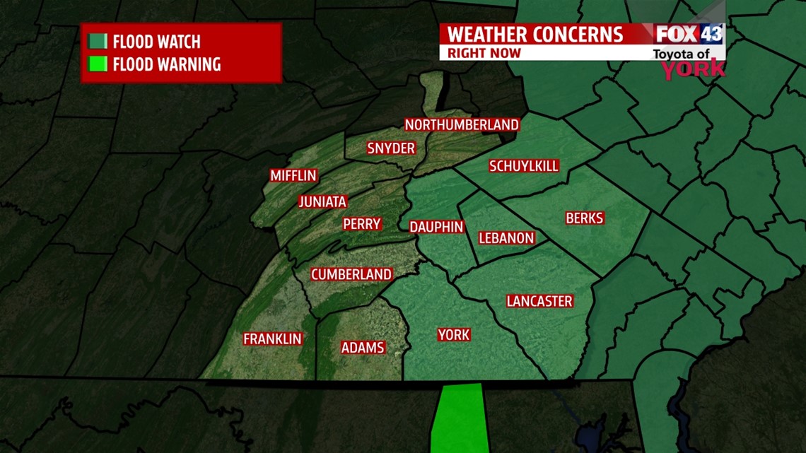
SLOPPY SUNDAY WINDS DOWN

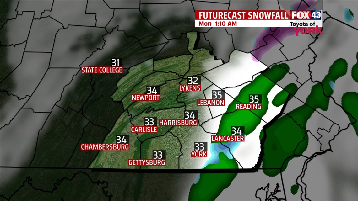
A mixture of snow, sleet, and rain continues to meander across the area this evening, but all is expected to eventually wind down. Through the evening and overnight, the precipitation breaks apart and slowly shifts east, leading way to slow clearing. Some light accumulations will be left on the ground, making the roads slippery and even icy in spots with overnight temperatures dipping into the upper 20s to middle 30s. It remains very breezy through the overnight period, so wind chills feel like the 20s and even teens at times. Skies clear by daybreak.
MILDER DAYS AHEAD

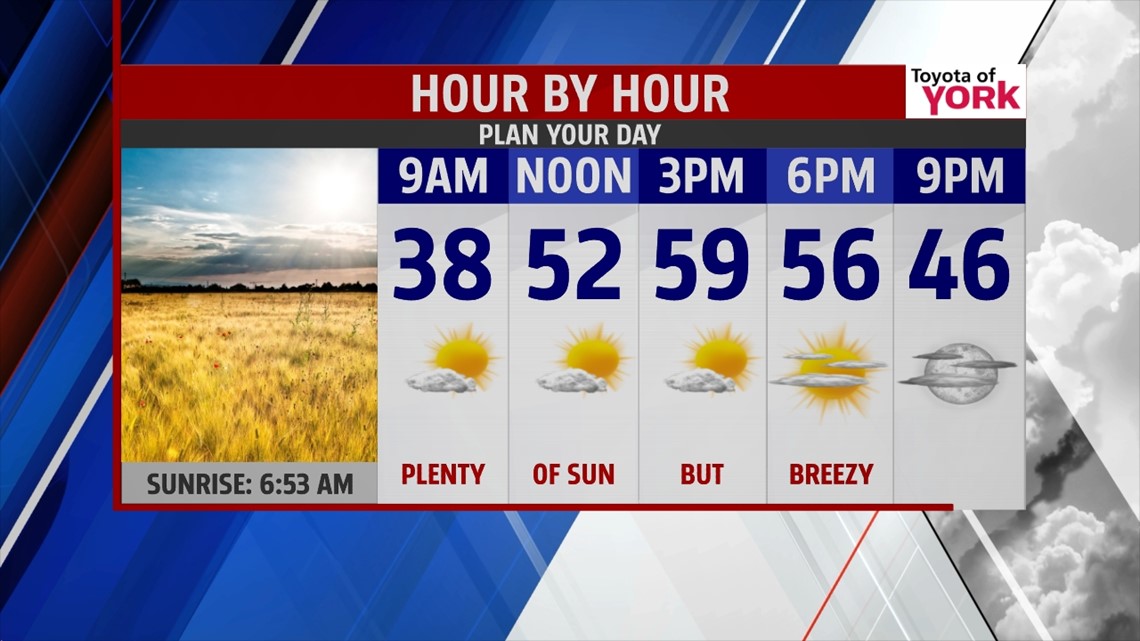
Sunshine is back across the region Monday with high pressure building into the region. It’s still a breezy day, but the final day of March is milder with highs in the middle to upper 50s. Tuesday, April 1st brings no jokes with the weather! A front passes through dry, meaning just some clouds and no precipitation. Highs reach the upper 50s to lower 60s.
TURNING WET YET AGAIN
April showers look plentiful from the middle to the end of the week. Wednesday a warm front looks to bring our first shot at showers. Rain becomes more likely Thursday as a wave of energy rides along the front. Its adjacent cold front passes through Friday, and depending on the timing, could linger into early Saturday before clearing out. The good news is despite the shower chances, temperatures are more or less near seasonable averages in the upper 50s. Sunday looks dry and a bit cooler.
Have a great week!
-Andrea Michaels