

COUPLE QUIET DAYS

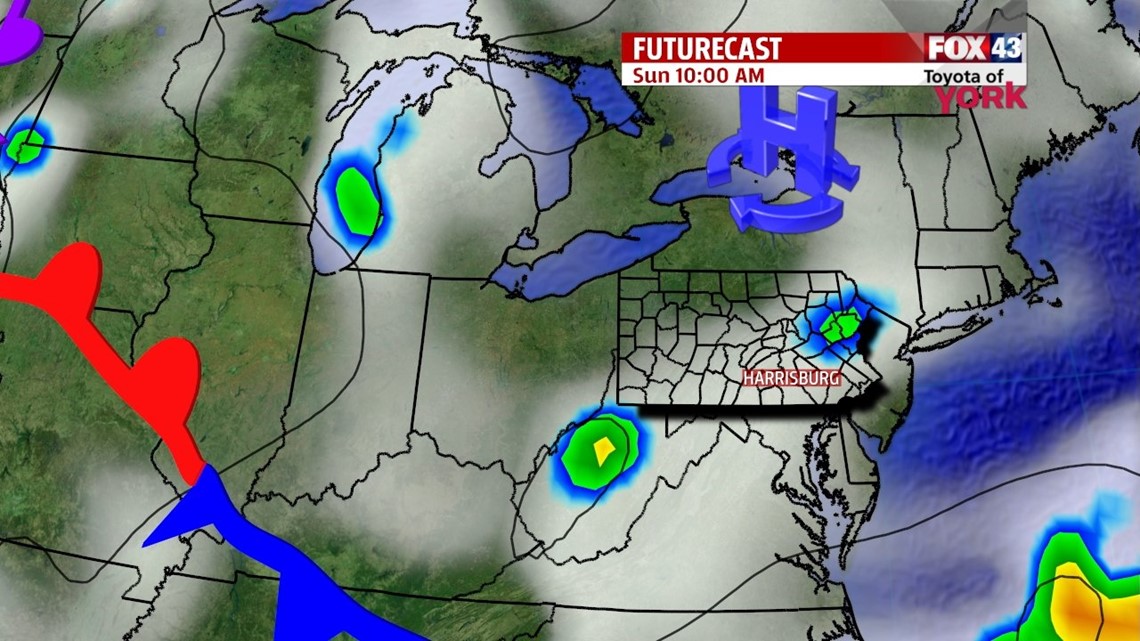
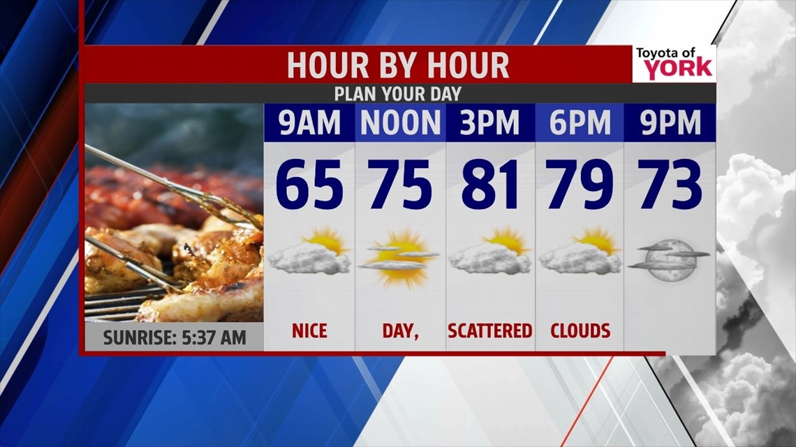
An area of high pressure continues to push a front to our south, with the clouds and showers following suit. Expect partial clearing through the night, but more clouds are expected south. Less by way of clouds is expected farther north. Either way, it’s a cool and comfortable night with lows falling into the middle 50s to lower 60s. Sunday brings a drier day with a mixture of sunshine and clouds. It’s a nice day, with highs near 80 degrees. Monday the sunshine sticks around, but temperatures begin to warm. The humidity begins to increase late in the day. Expect highs in the lower to middle 80s.
TURNING WARMER
By Tuesday, our next storm system edges closer. This brings some afternoon showers and perhaps a few thunderstorms to the area. It’s a humid day with highs in the lower to middle 80s once again. Wednesday the system passes through, bringing the chance for widespread showers and thunderstorms. It’s warm and muggy once again. Thursday clears out, but it’s still a warm day. Highs reach the middle 80s both days.
MORE T’STORM CHANCES
Friday stays very warm across our area. An approaching disturbance brings the chance for an isolated thunderstorm, but the brunt of the wet weather with this disturbance isn’t expected until Saturday. By then, expect the chance for more thunderstorms. Temperatures continue to hold in the middle 80s leading into the weekend, with the humidity sticking around too.
Enjoy the rest of your weekend!
-Andrea Michaels