

MUCH MORE COMFORTABLE

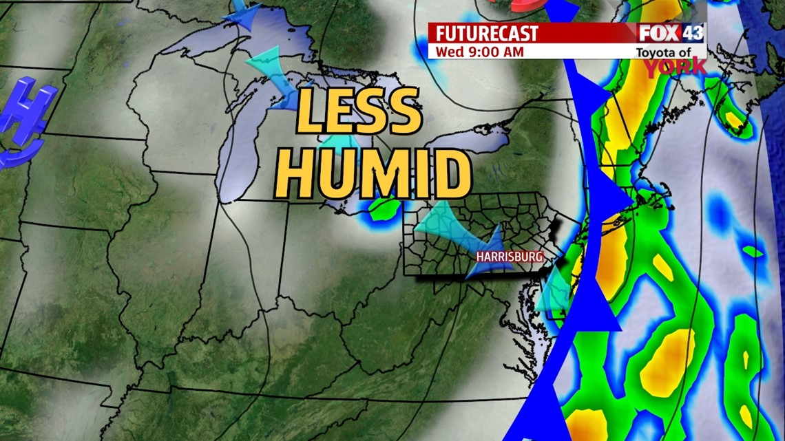
A potent cold front continues to slowly exit the area, bringing with it, the humidity, clouds, and showers. High pressure is behind it, bringing fantastic weather for the middle of the week. A few spotty showers or sprinkles are still possible east before everything clears, with sunshine gradually building in too. Areas along the western half of the region wake up to bright sunshine. Temperatures fall into the 60s, and the humidity drops through mid morning. With cool air rushing in, some clouds bubble up into the afternoon. It’s still a pleasant day, with highs in the middle to upper 70s, unseasonably cool for this time of year.
STAYING PLEASANT
High pressure stays in control, meaning the sunshine continues. Temperatures remain below average Thursday, near 80 degrees. Friday we warm into the lower to middle 80s area wide, but the clouds begin to build later. A shower or two could roll in late in the day, but most should stay dry. Expect cool and comfortable mornings too, with lows in the 50s to lower 60s!
WEEKEND & BEYOND
By Saturday, the warmth and humidity returns along with our thunderstorm chances. Sunday looks unsettled too, with a better chance for showers and thunderstorms. Highs are in the lower to middle 80s through the weekend. Monday there’s still a thunderstorm chance, and we warm into the middle to upper 80s. Tuesday we should finally dry out. It’s seasonable, with highs in the middle 80s.
Have a great Wednesday!
-Andrea Michaels