

STAYING PLEASANT

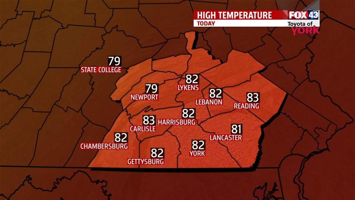
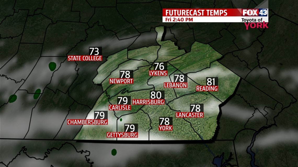
Friday is another spectacular day courtesy of high pressure sitting directly on top of the region. After another cool start, temperatures quickly jump into the 70s through the morning. Clouds begin to stream in from the south as some moisture slowly creeps north. This stops temperatures from spiking more during the afternoon. It’s still a day with temperatures running below seasonable averages, in the upper 70s to lower 80s. Through the night, clouds continue to thicken. It’s not nearly as cool because of the clouds. Lows fall into the lower to middle 60s.
CLOUDS/SMALL STORM CHANCES
The brunt of the moisture stays mainly to our west through the weekend, but we’ll still have the chance for a few stray thunderstorms. It looks mainly dry for most spots. Clouds blanket the region Saturday, but begin to give a little late on Sunday. The humidity also slowly increases through Sunday. Temperatures still run below seasonable averages in the lower 80s.
WARMING UP!
Monday and Tuesday there’s still a thunderstorm chance, but we get rid of the clouds. The area warms back to seasonable averages in the middle to upper 80s on Monday, and near 90 degrees on Tuesday. The humidity cranks up more too. A cold front looks to drop down from the northwest, and this brings a better chance for showers and thunderstorms on Wednesday and Thursday. Highs are in the lower 90s on Wednesday.
Have a great weekend!
-Andrea Michaels