
THIS EVENING: Clouds have developed on this beautiful day but will dissipate after sunset leaving starry skies. Temps will fall from the upper 70’s to the mid 60’s.
MORNING: A refreshingly, cool morning with bright sunshine and lows in the 50’s to start our morning.


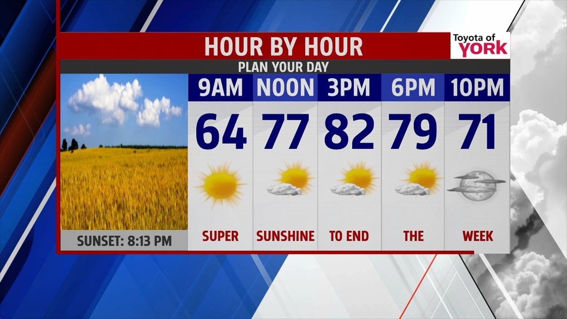
TOMORROW: Plenty of sunshine with a few clouds from time to time in the afternoon. Highs will once again warm to the upper 70’s to lower 80’s, still below August averages.

OUTLOOK: We have been watching all week on the models an area of low pressure expected to dive to our south. They are now tracking it further to the north so this means more clouds around for the weekend as well as a small shower threat for our southern counties. A persistent easterly flow sets up for Sunday and Monday as high pressure jogs eastward and the low pressure system rides up from the southwest creating east-southeast winds for several days. Models however have been going back and forth on the exact track of the low pressure system. If the system moves further to the north we are looking at a better chance for a few showers over the weekend but there will be a battle between the high and low. Right now the high is looking to be more in control. We’ll have to watch this very closely as it could change. Next front and better chance for showers and thunderstorms arrives Tuesday and showers are likely to linger into Wednesday. High temperatures will continue below August averages.


MaryEllen Pann, Chief Meteorologist
Like me on Facebook: maryellenpannfox43
Follow me on Twitter: @MaryEllenFox43