


EVENING
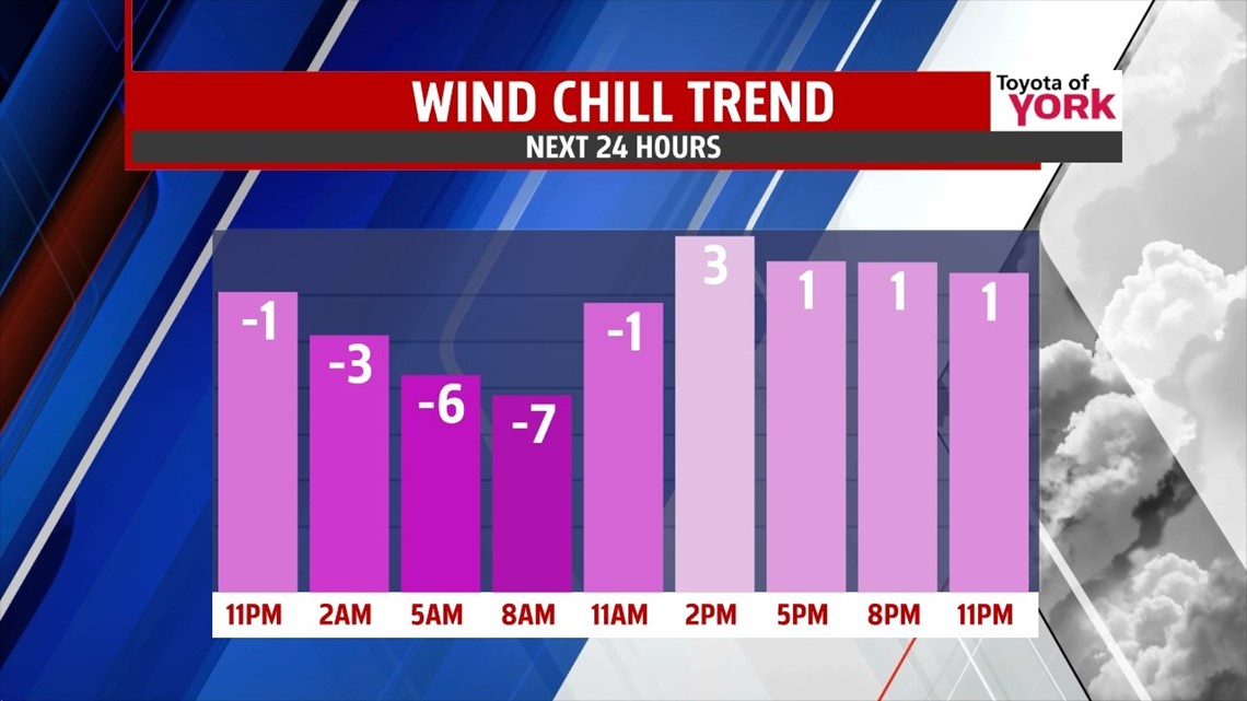
Front will cross the area this evening, shower threat ends; winds pick up and will help to usher in a blast of Arctic air. Temperatures will fall out of the 40’s into the 30s by 10pm. Clouds will slowly break up. Where temps fall faster in our northwest counties there is a concern for flash freezes. Ground may still be damp or wet and with the colder blast cause surfaces to ice up or become slick later tonight.
MORNING
Get ready for the coldest air of the season to come pummeling in and the winds won’t help. Lows will be in the low 20’s but with a strong breeze out of the west 10 to 20mph and gusts even higher, wind chills will run in the teens and that is what you need to dress for. We’ll start out with plenty of sunshine. Allow for some time to warm up the car!


Winds will be westerly 10 to 20 mph with gusts to 30 mph. There will be clouds bubbling up in the afternoon mixing with the sunshine but will clear as the sun sets leading to possibly record lows Wednesday morning. We could at least tie the morning record low of 18 set back in 1924.


NEXT WEEK
Highs will rebound to the low 30’s Wednesday with some sunshine but the clouds will be increasing as the first of two clippers arrive. Not much moisture with it but it will keep temperatures below average. Thursday, the clipper moves by early morning and may produce a few flurries. Skies will clear out allow for some sunshine by afternoon. This should boost afternoon highs to near 40 degrees. Still need the winter coat and gloves because it will be even colder Friday morning with lows in the low 20s. Highs will only get to the mid 30s under mostly sunny skies. Next clipper comes in late with again very little moisture. Morning lows Saturday will dip to the low 20’s but we should rebound to near 40 by afternoon under mostly sunny skies. The next system arrives Sunday along with milder temperatures so we are looking at rain as a threat more so than winter precipitation. There may be a few showers on Monday and high temperatures look to finally return to the 50’s!
MaryEllen Pann, Chief Meteorologist
Like me on Facebook: maryellenpannfox43
Follow me on Twitter: @MaryEllenFox43
