


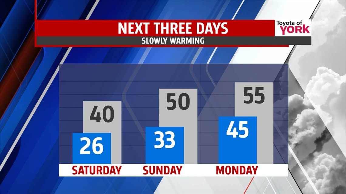
WARMING WEEKEND

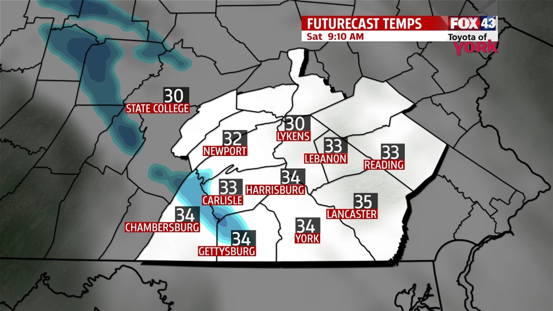
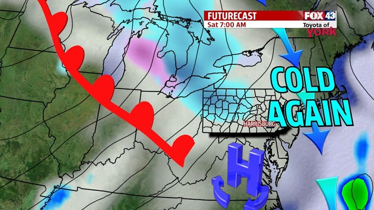
A warm front approaching this evening quickly brings back the clouds to our region. A few flakes are possible through the night, but nothing major is expected. It’s another frigid night, with overnight low temperatures in the 30s. It’s a cloudy start to the weekend on Saturday, with a few flakes or drops still possible. The clouds break late as the warm front lifts north, so high temperatures are near 40 degrees. Sunday, a warmer flow takes hold, boosting temperatures to near 50 degrees. A weak system tries to move in, but only looks to bring a few drops at best.
EARLY NEXT WEEK
Plenty of clouds are expected Monday, and perhaps a few showers with our next system. Temperatures stay seasonable Monday but briefly cool down into the 30s on Tuesday. Tuesday is dry, with our next chance for showers arriving with a cold front on Wednesday. Highs warm back up to seasonal averages near 50 degrees.
LATE WEEK
The front is quick to move through the region, so skies are dry once again for Thursday. Friday looks mainly dry too, but there will be a small shower chance. Temperatures hover slightly below averages in the middle 40s.
Have a great weekend!
-Andrea Michaels
