
THIS EVENING
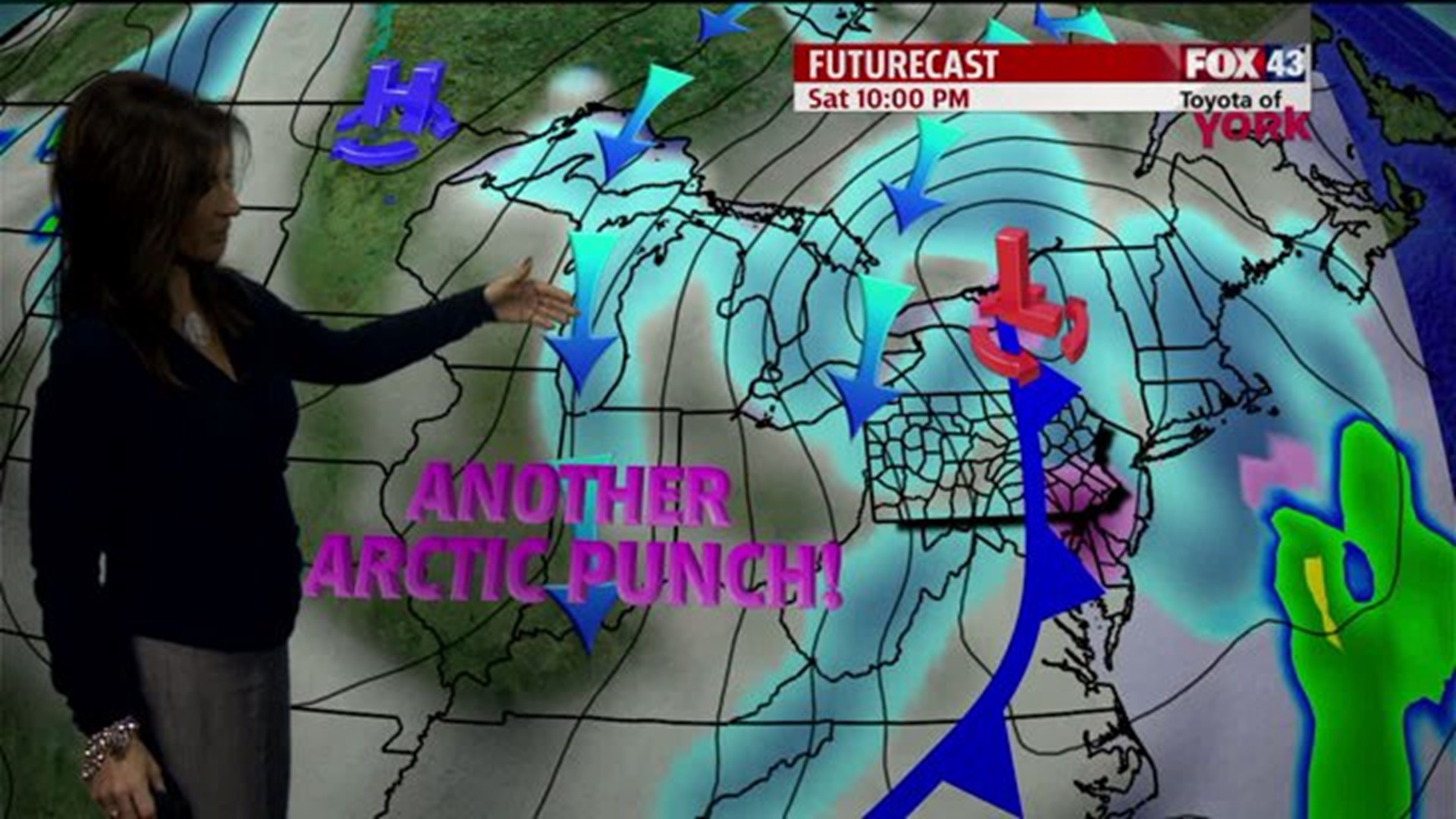
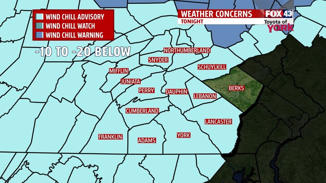
An Arctic boundary as pushed south of the area. Following the front will be much colder air which will cause temperatures to fall from the 30s quickly to the teens by later tonight. Winds will continue to increase through the evening with the strongest gusts coming overnight anywhere from 30 to 40mph. The clouds around now will continue to clear as well. The combination of the colder temperatures and gusty winds will have wind chill values running dangerously cold and well below zero. A WIND CHILL ADVISORY goes into effect at 7pm until noon tomorrow for the area. Frostbite to exposed skin could happen in as little as 30 minutes. Make sure to bring in your pets too.


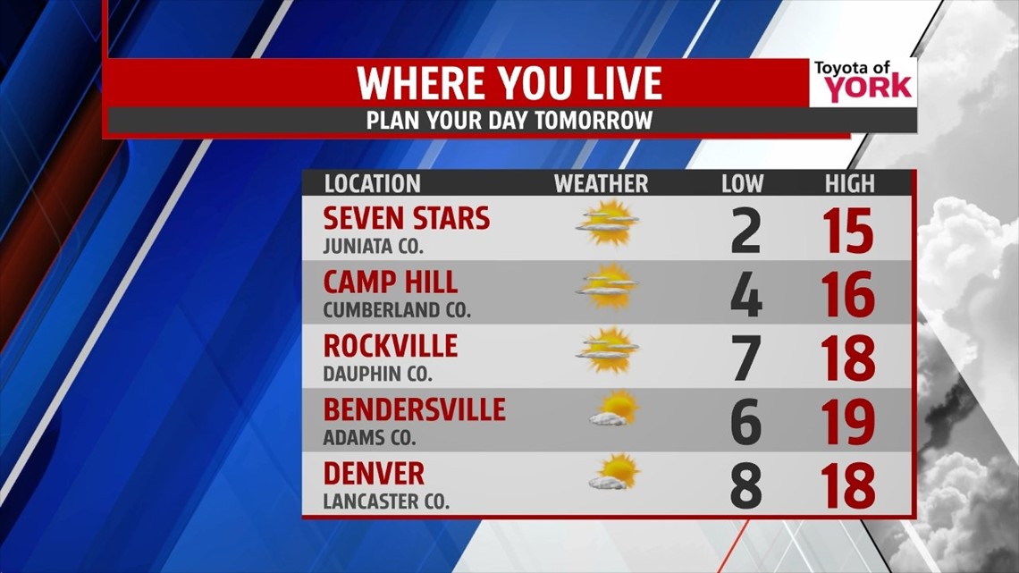

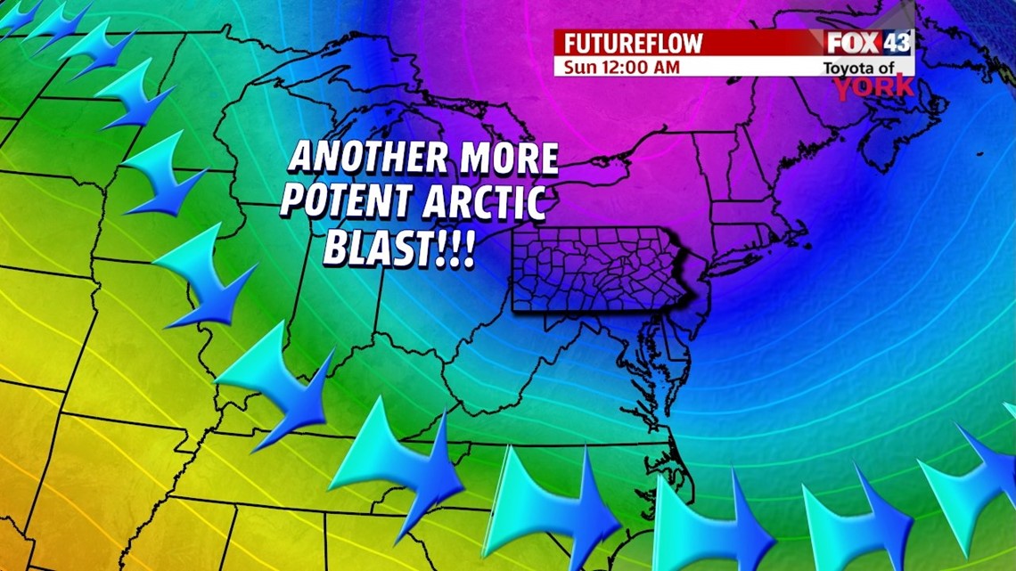
Sunday night into Monday morning will be the coldest by far and could come close to tying or breaking the morning low of 0 set in 1904 and 1905. Either way prepare for a very, very cold morning. Highs will fall short of seasonal averages only climbing to the upper teens despite mostly sunny skies. Our next system comes in Tuesday evening from the south and may bring snow along with a wintry mix. This system as of now looks pretty impressive and we will be closely monitoring the trends in the upcoming days. Temperatures will improve slight to near 30 both Tuesday and Wednesday but severely drop once again heading into Thursday.
MaryEllen Pann, Chief Meteorologist
Like me on Facebook: maryellenpannfox43
Follow me on Twitter: @MaryEllenFox43