OVERNIGHT
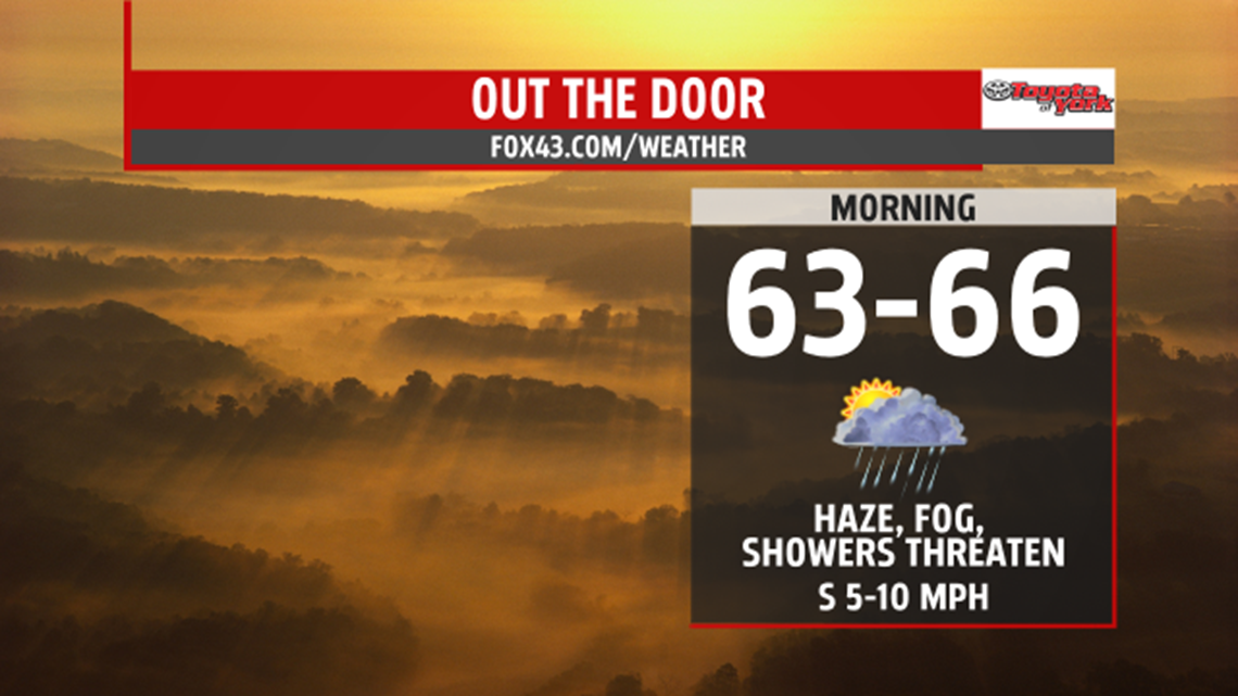
Scattered showers and thunderstorms threaten this evening and overnight. Areas of fog will develop, and it remains very warm and muggy through the morning with lows well above average in the mid 60s.

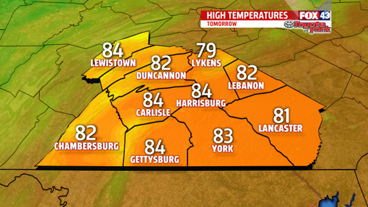
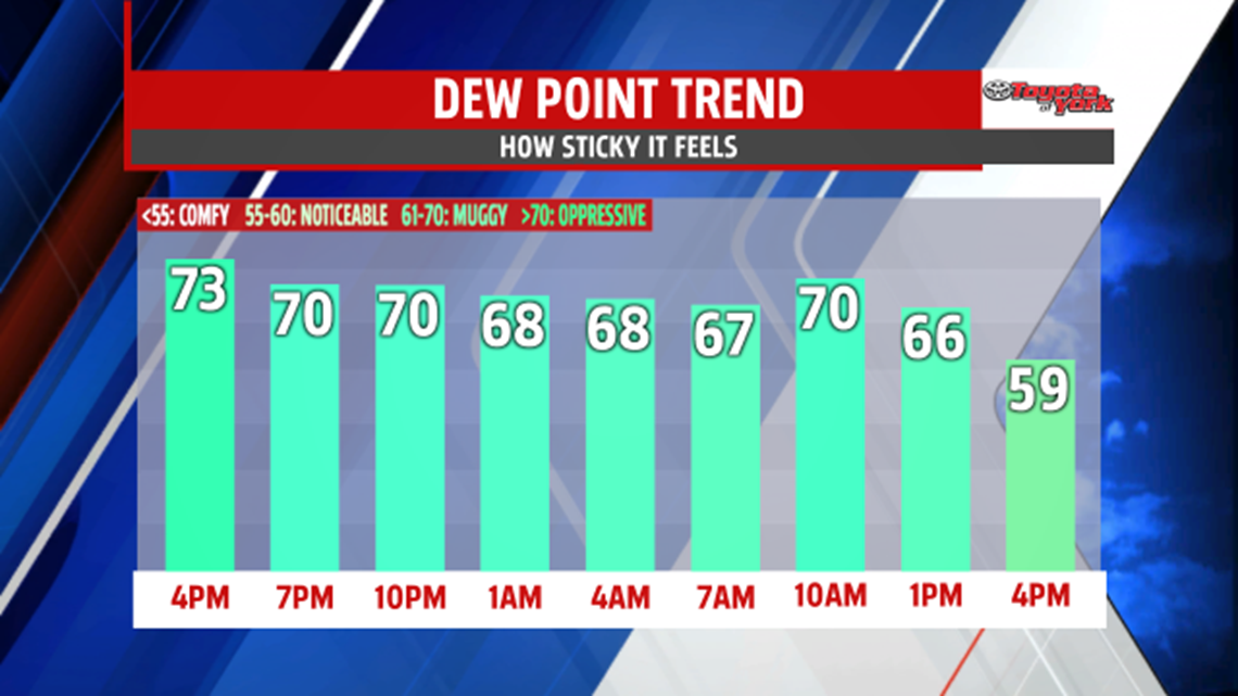
Showers still threaten in the early part of the day as a cold front sweeps through the area. Once it is east of us, drier air will filter in lowering dew points. Clouds will break up some during the afternoon and winds will become breezy out of the west. With mild morning lows and sunshine, we’ll see temperatures once again into the low to mid 80s. Skies will clear and cooler air will spread in. Lows will drop to the low 50s for Wednesday morning.

OUTLOOK
Breezy, cooler and more comfortable midweek with plenty of sunshine as high pressure controls our weather. Highs will be in the upper 60s for a couple of days. More clouds expected for Thursday as an area of low pressure tracks by to our south. Heading into Friday, more sunshine breaks out with highs near seasonal averages in the low 70s. Into the Memorial Day holiday weekend, it will be dry with warming temperatures for Saturday. By Sunday, a return flow sets up and the humidity will start to build. There may be a pop up thunderstorm but a better chance for thunderstorms will be Monday for the holiday as the heat and humidity continues to climb ahead of the next frontal system which doesn’t push through until early Tuesday morning.