

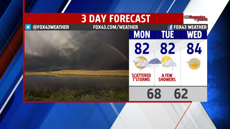
Unsettled Weather Expected Monday

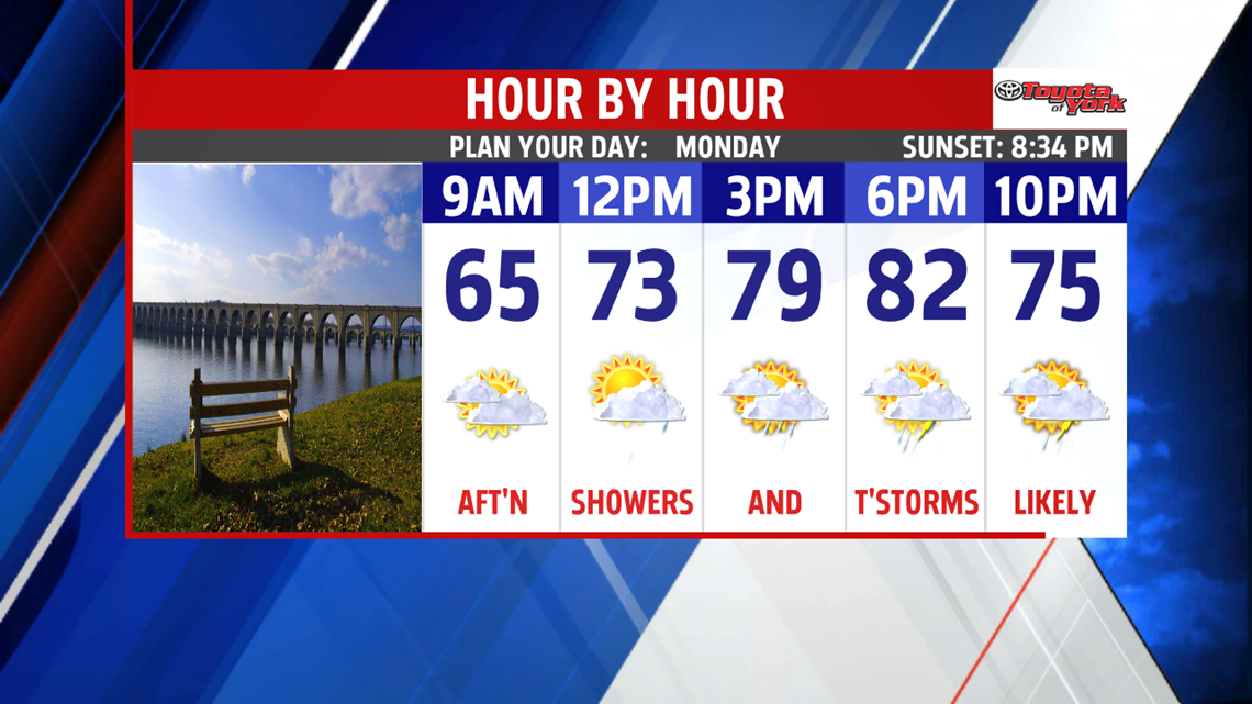
High pressure that kept our weekend perfect will slide offshore, allowing southerly flow to increase moisture and cloud cover to start the week. In addition, a slow moving cold front will arrive and push across the Mid-Atlantic States on Monday, bringing with it a likelihood of scattered showers and thunderstorms. Storms are likely to intensify Monday afternoon, ahead of the front. A few strong to severe storms are possible Monday afternoon and lasting through the evening hours. The main threat with these storms could include damaging winds, heavy localized rainfall, and small hail. Highs are in the low 80s with temperatures dropping down into the low 70s and upper 60s Monday night.
Summer-like Temperatures Return

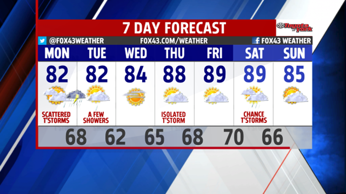
As the front moves out on Tuesday, expect a few lingering morning showers. Temperatures will still sit in the low 80s for Tuesday as weak high pressure begins to slide in and pave the way for summer-like conditions to return to the area for the remainder of the week. Above normal temperatures in the upper 80s will build into the week, with some areas on Thursday and Friday possibly reaching the 90 degree mark! Increased moisture will also accompany the warmer temperatures making it feel more humid and sticky as the week goes on. Isolated showers or thunderstorms are possible later in the week as well in the warmer and more humid air mass. The weekend ahead may start with another round of scattered showers or storms as an area of low pressure moves across the Midwest and Great Lakes swinging another cold front into our area on Saturday.
Have a great start to the week!
