OVERNIGHT
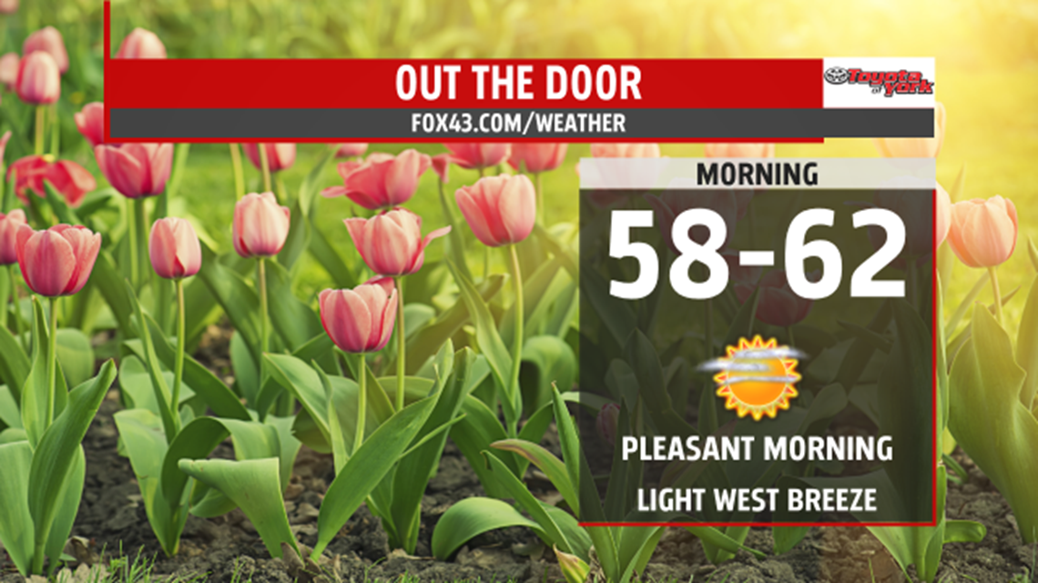
Isolated thunderstorm early in the evening is possible and mainly north of the turnpike. Otherwise, expect skies to clear. Dew points are in the 50s indicating a comfortable air mass in place. Lows will drop to the upper 50s to low 60s.

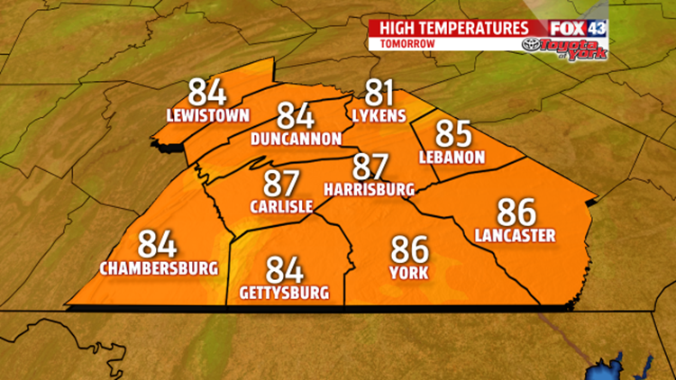
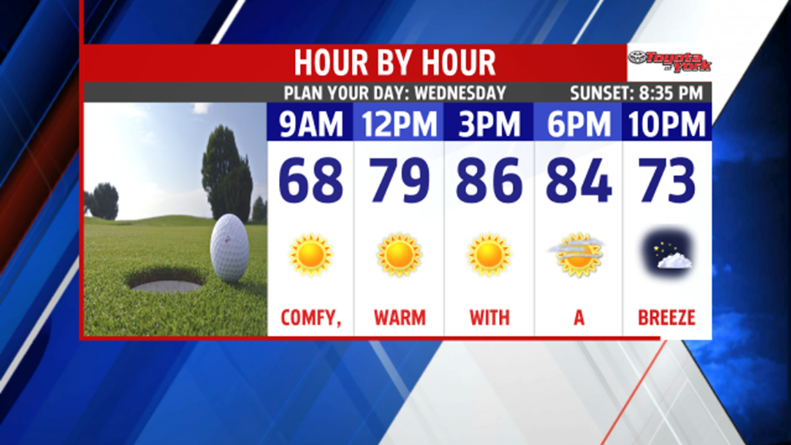
As high pressure noses in, it will provide a rather comfortable day with dry conditions. Plenty of sunshine and a nice breeze will warm us to the mid 80s. Few clouds will drift in toward the evening and overnight bringing milder morning lows in the upper 60s.

EXTENDED
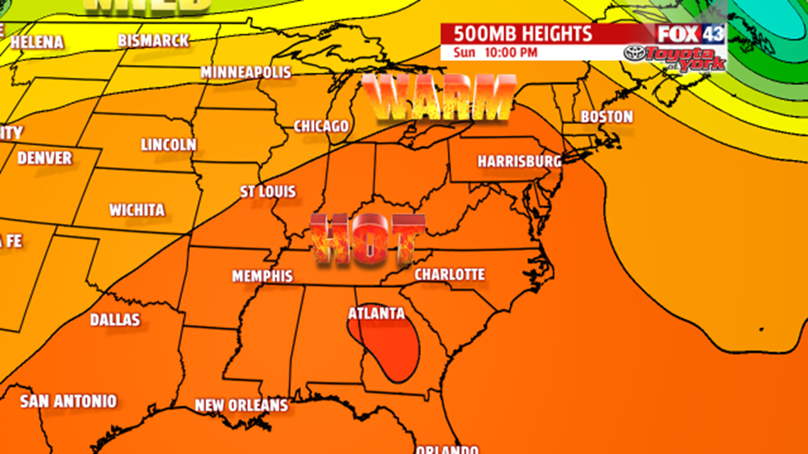
Summer-like pattern sets up as ridge builds in over head. Temperatures will warm to the upper 80s to near 90 for the rest of the week. A wavy frontal boundary will linger overhead for several days. This feature, along with the heat and humidity, will act as a focus for daily thunderstorms. This set up will remain with us into next week. So showers and thunderstorms will be possible for the beginning of the weekend. Sunday looks to be the quiet day with a minimal storm threat but come early next week, thunderstorms will be possible and temperatures will soar to the upper 80s.