

OVERNIGHT
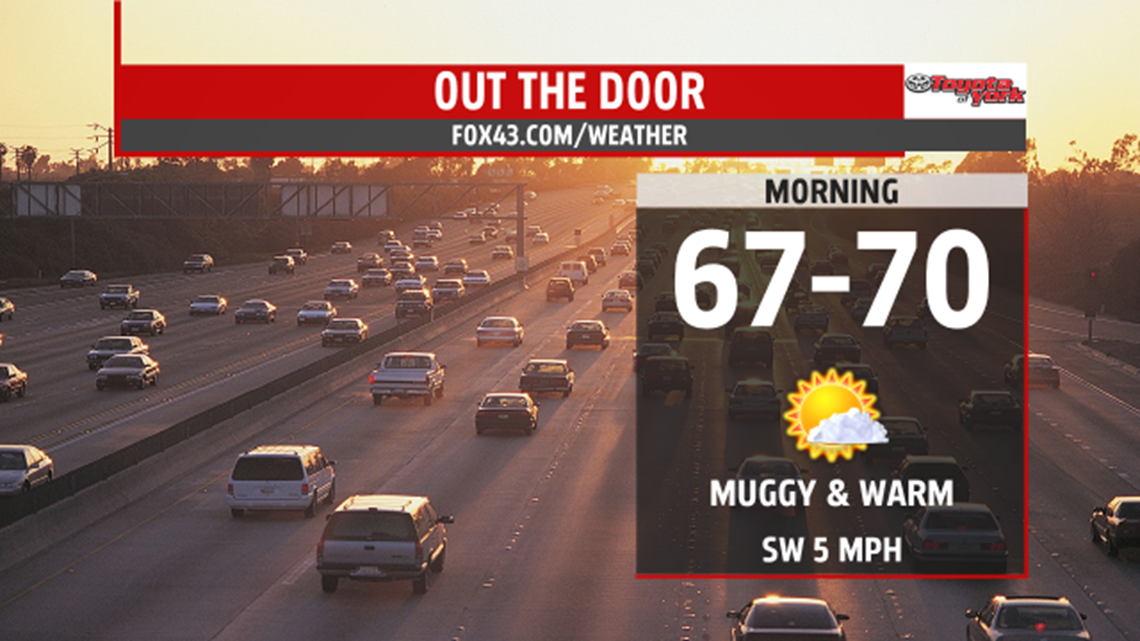
Mostly clear to start but clouds will start to roll in as a storm complex races east just to our north. These storms are in association of a warm front sliding towards New York. It will be warm and muggy with lows in the upper 60s to near 70.

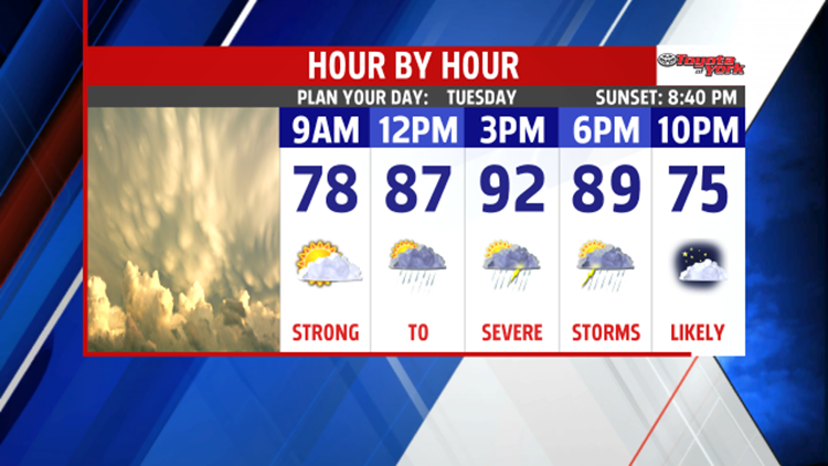
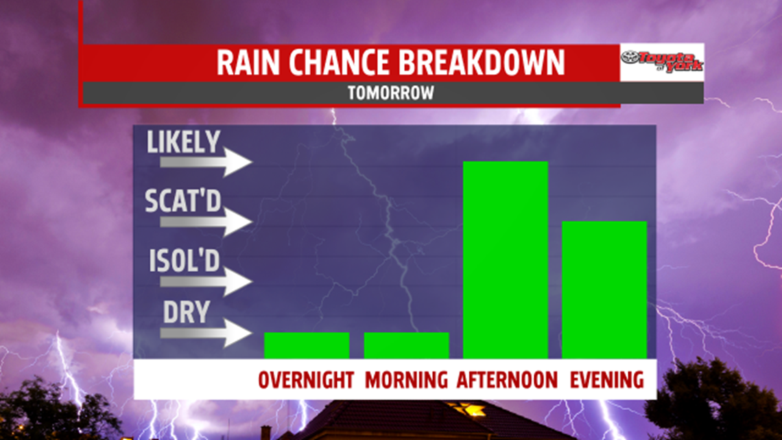
Tomorrow a cold front will sweep across the area. With the increasing heat and humidity, and the added lift from the front, strong to severe storms are possible. The Storm Prediction Center has us out looked for a SLIGHT risk for severe storms. Main threats will be damaging winds and hail. However, with the recent heavy rain over the weekend, there could be minor flooding in areas that receive more heavy rain from the storms. Highs will be very warm in the upper 80s to low 90s.

EXTENDED
Wednesday will be the nicest day of the week! Highs will be seasonal in the low 80s and the humidity will drop, as drier air fills in on a northwesterly breeze. Most of the Thursday looks nice but our next system will track east quickly bringing a threat for showers and thunderstorms late in the day. Highs will warm to the low 80s. Friday, another wave of low pressure keeps showers and thunderstorms around. Highs will be a few degrees cooler in the upper 70s to low 80s. A change in the upper level pattern will allow cooler air to settle in for the weekend. Highs will only reach the mid to upper 70s. We’ll see plenty of cloud cover as sunshine will be limited. Several disturbances will keep the threat for showers and thunderstorms around both days.
