

FRONT
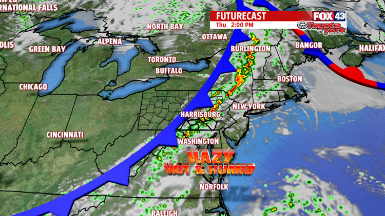
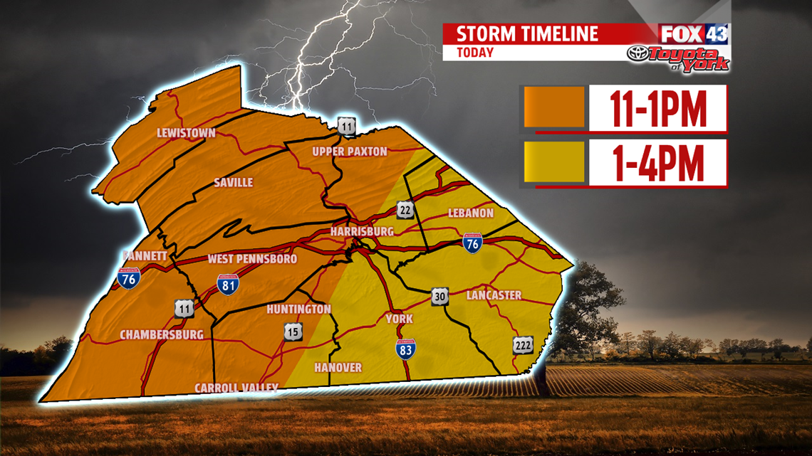
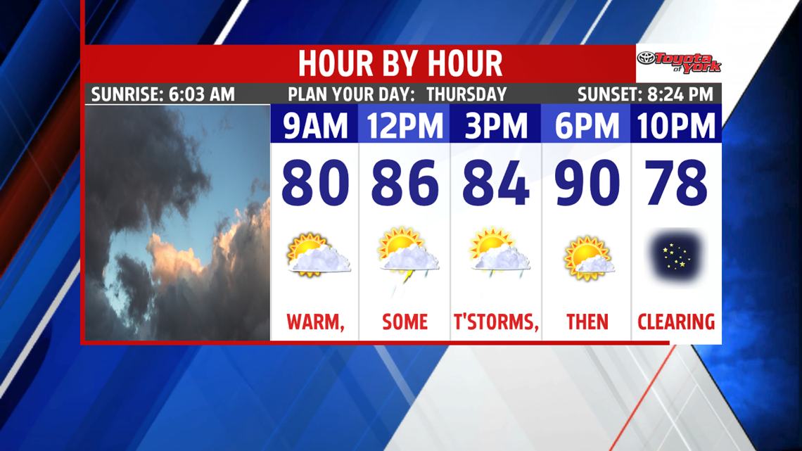
A front today will bring showers and storms for the midday and afternoon hours. Expect storms from 11AM-4PM, with a few stronger ones with gusty winds developing as they push east later in the day.

Highs today should make a run at 90° after the storms pass, with muggy air during the daylight. As we move into the evening, skies clear, temps drop and humidity follows suit. Overnight, it’s mostly clear with lows in the middle 60s.

FRIDAY
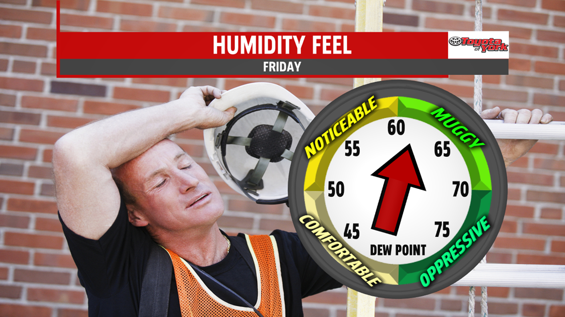
Highs bump back into the upper 80s with mostly sunny skies prevailing. We’ll see a bit of a break in the humidity too! Evening plans look spectacular.

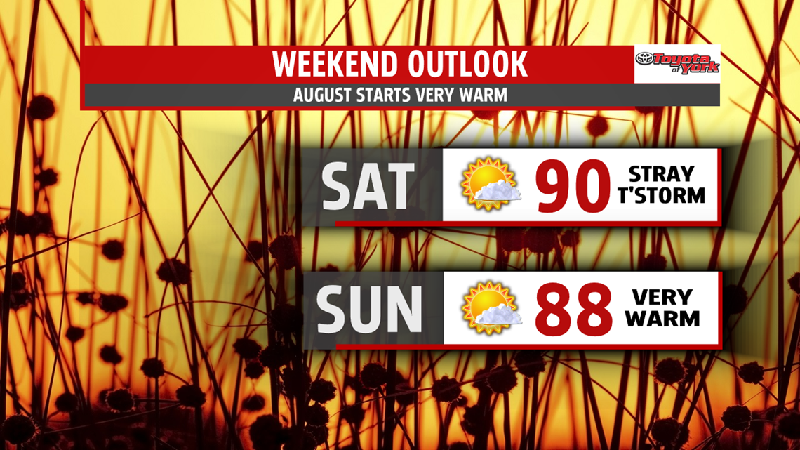
WEEKEND
We start to bake yet again. Highs bump back to the 90° with sunshine and muggy air locked in place for Saturday. A weak front may allow a stray storm to fire later Saturday. Sunday, the high hits 88° with mostly sunny skies. It’s a bit muggy too.

NEXT WEEK
The heat does not let up to start the week. Highs Monday are in the lower 90s with very humid air. We may see storms later Monday into Monday night and early Tuesday. Highs Tuesday hit the upper 80s. By Wednesday, we may drop the temperatures a bit to the middle 80s with sunny skies.
Here’s to keeping cool on this Thursday!
“You can tell the greatness of a man by what makes him angry.” – Abraham Lincoln
