

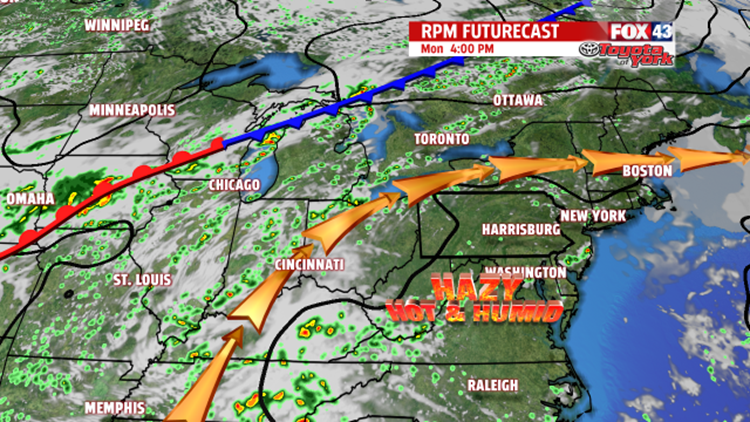


INCREASED STORM CHANCE: A cold front slowly drifts this way from the middle to the end of the week. Wednesday is still hot and humid. Temperatures are near 90 degrees once again, and there is still the threat for an isolated shower or thunderstorm. A better and more widespread chance for showers and thunderstorms is this Thursday as the cold front crosses through. Afternoon high temperatures still flirt with the 90 degree mark. Friday the cold front stalls to the south, so relief looks unable to move into the region. Highs are in the middle to upper 80s with a stray thunderstorm possible.
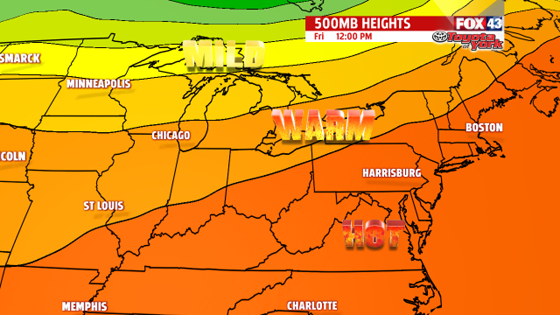
MORE WARMTH: Next weekend brings more of the same for our region. Although humidity levels come down a touch, temperatures still run a bit above averages in the middle to upper 80s.
Have a great week!
