

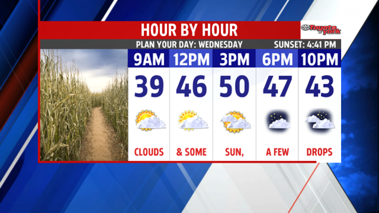


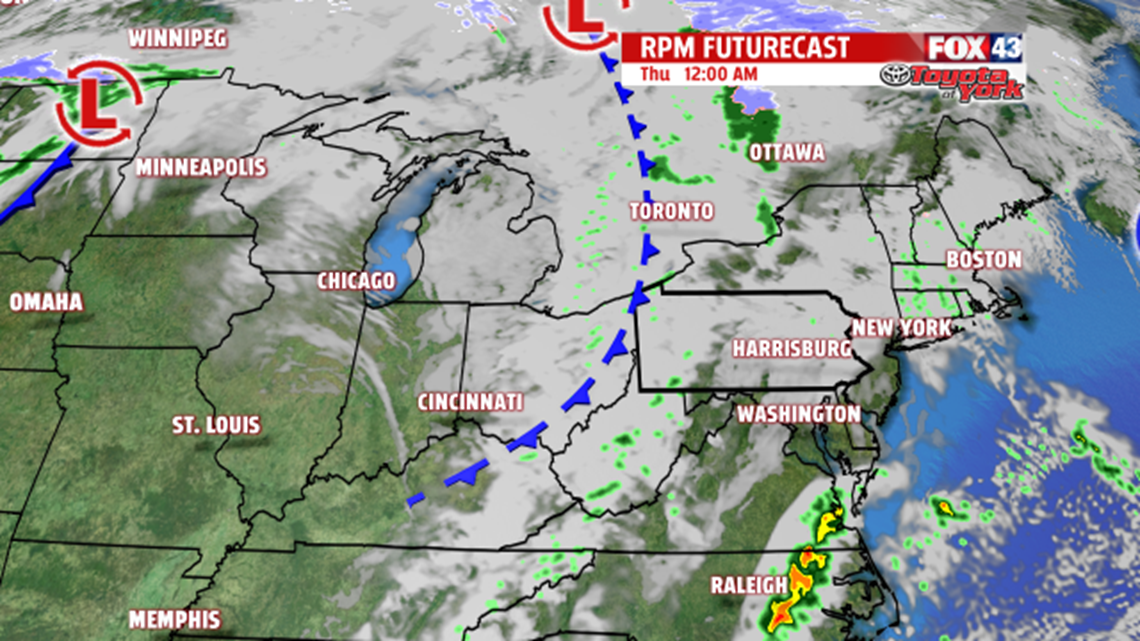
MIDWEEK CLOUDS: A quick moving, weak system approaches for the middle of the week. This brings extra clouds, and they are already moving in as the evening unfolds. Areas of patchy dense fog are expected to form once again through the night. Otherwise, expect partly clear skies. Lows are in the lower to middle 30s. The clouds stick around through Wednesday, with limited sunshine expected. A few stray drops are possible as the system weakens, but most stay dry. Clouds remain through Thursday as yet another weak system passes nearby. A few drops are possible again, but most of the area is dry. Expect temperatures near 50 degrees Wednesday. Readings rise into the lower to middle 50s on Thursday.

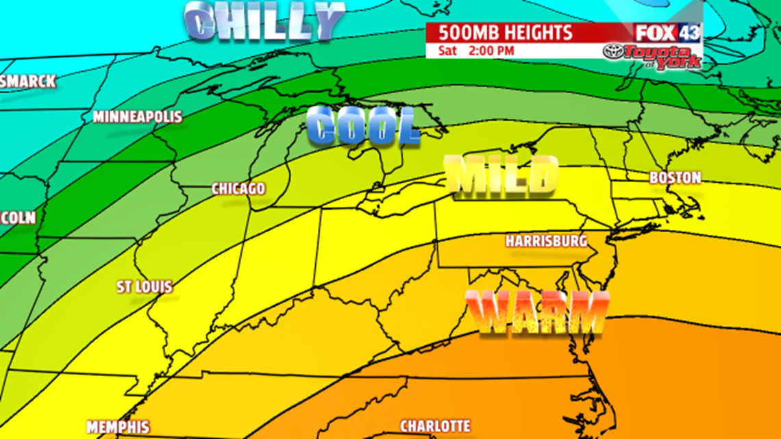
WEEKEND WARMING: A warming pattern sets up for the weekend. Expect plenty of sunshine Friday and Saturday. Highs are in the 50s Friday, and many spots touch 60 degrees on Saturday! Sunday remains warm, but our next system approaches as well. This increases clouds for the latter portion of the day. Showers won’t arrive until the overnight period. Highs are in the lower to middle 60s.
SYSTEM NEXT WEEK: This system keeps showers in the forecast Monday, so expect a soggy day. Temperatures are still well above average until the system passes through. Skies dry out by Tuesday, with partly cloudy skies expected.
Have a great night!
