

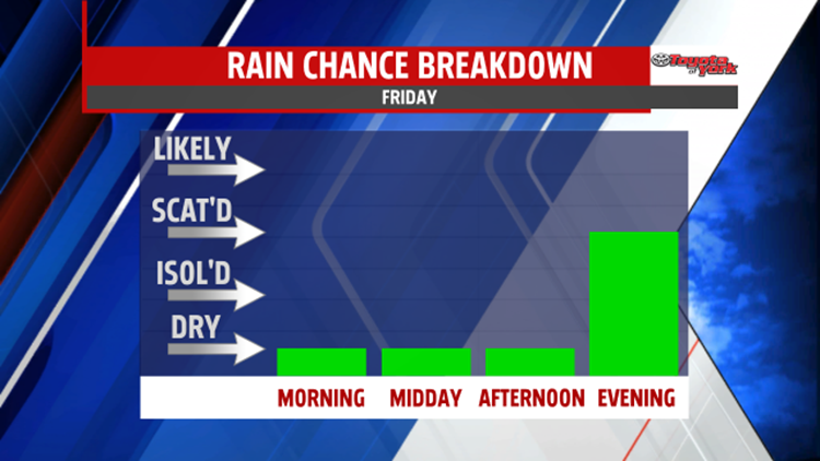


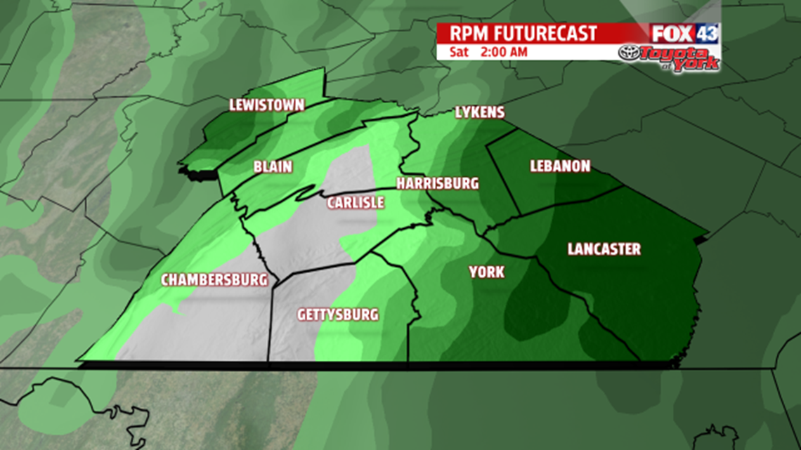
SHOWERS BEGIN WEEKEND: There is some sunshine to start across the region this morning, and low temperatures are milder too. Expect clouds to build through the day ahead of our next system. It’s even milder, with readings in the lower to middle 40s on Friday. The weekend forecast is going to be unsettled. Showers are expected overnight Friday, but wrap up by daybreak on Saturday. Expect about a quarter to a half of an inch of rainfall, especially along the eastern parts of the area. Clouds linger through the morning, but they break during the afternoon. It’s also breezy too. Skies are mostly cloudy Sunday as a weak, quick moving system approaches. Flurries and a few snow showers are possible too. Expect temperatures to fall from the lower 40s on Saturday to near the lower to middle 30s on Sunday.

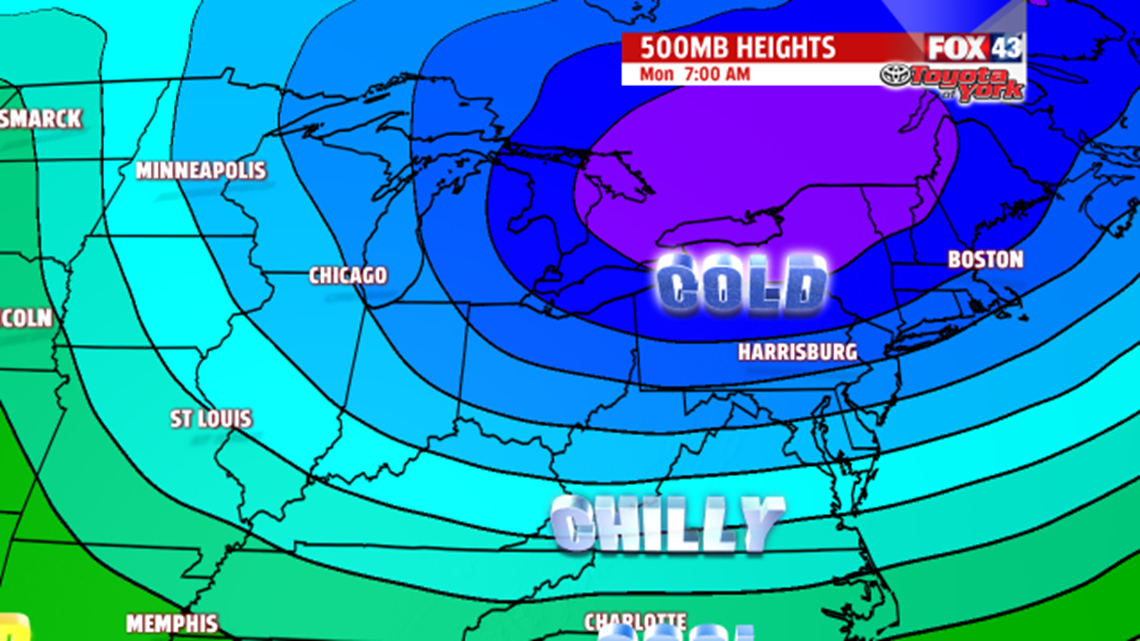
EARLY WEEK COLD: Monday is a colder day, with highs back in the 20s. Skies are mostly cloudy, and some lake effect flurries are possible. It’s breezy as well, adding to the chill. There’s a little more sun on Tuesday, but the cold lingers. Highs are in the upper 20s.
MIDWEEK: Wednesday is a seasonably cold day with partly cloudy skies. Readings are in the lower 30s. Thursday temperatures continue to turn milder. Expect afternoon highs in the middle to upper 30s under mostly sunny skies.
Have a great weekend!
