

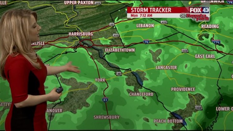
SHOWERY START: Showers begin the new work as a cold front pushes through the Lower Susquehanna River Valley. You can expect a milder start, with on and off showers through the morning. It’s a bit breezy too, and winds are expected to remain breezy through the afternoon. The periods of rain showers continue as well. High temperatures are much milder than the past weekend. Numbers rise into the upper 50s to middle 60s by the evening. Showers take a short break this, with just perhaps a few spotty ones around. Then, as the cold front passes, a line of showers is expected overnight. The rain could be heavy at times, lasting into the early portion of the morning commute. Temperatures stay mild to start, and should drop to near 50 degrees by morning.
MORE SUNSHINE: After some early morning showers, mainly east, skies dry out Tuesday. High pressure helps to clear the clouds too through the course of the day. It’s still a bit breezy, with afternoon temperatures in the 50s. Wednesday brings plenty of sun too. Expect only a few passing clouds, with afternoon high temperatures slightly below average, in the middle to upper 60s.
TURNING WARMER: The end of the week and the weekend finally feature some warming, but it is slow to start. Thursday brings intervals of clouds and sunshine, with afternoon highs near seasonable averages in the upper 50s to lower 60s. Friday more sunshine is expected, and temperatures continue to warm. You can expect numbers well into the 60s. Saturday the mostly sunny and dry conditions continue. Afternoon highs are in the middle to upper 60s. It even looks like some spots reach the 70s on Sunday! It remains dry with a fair amount of sun.
Have a great Monday!
