
KEEP THE UMBRELLA HANDY
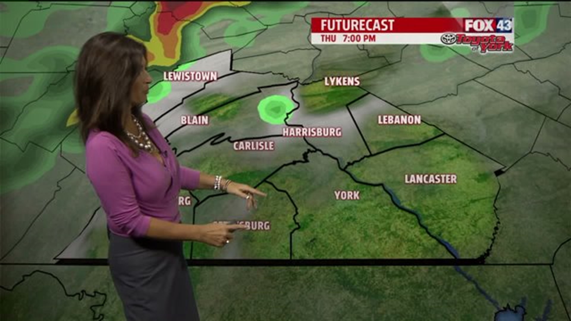
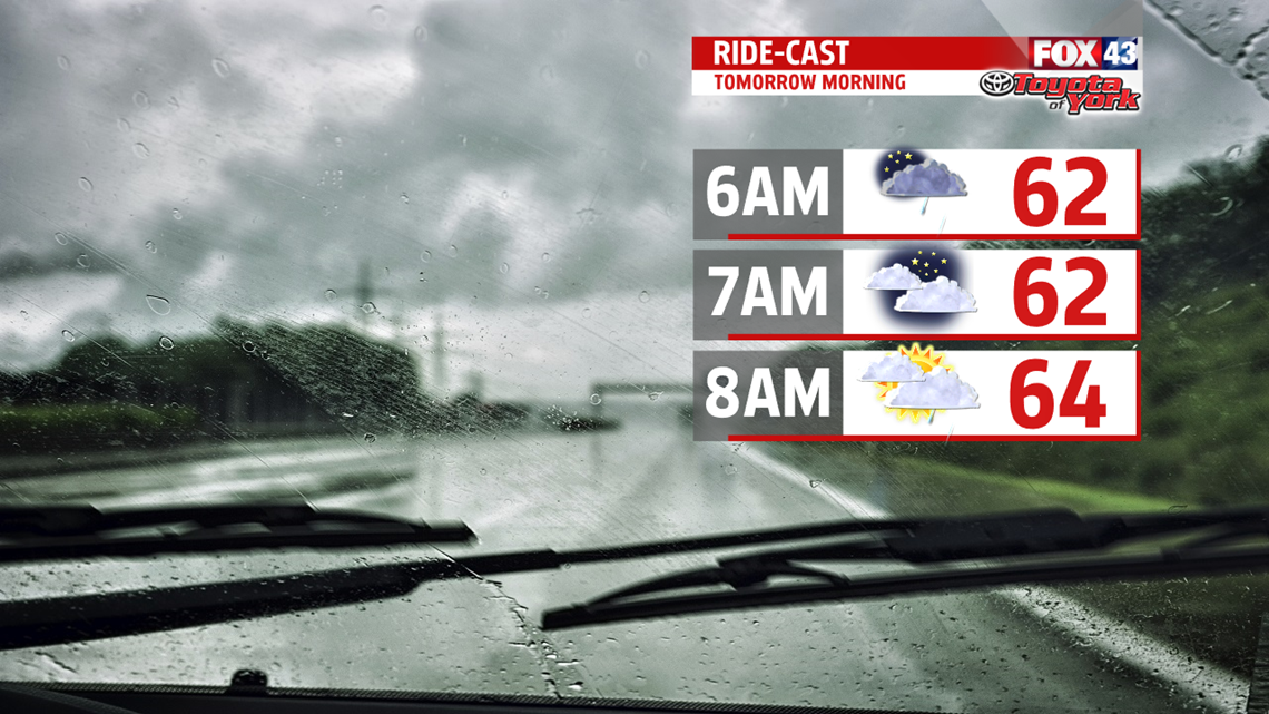
Areas of low pressure riding along a front brings the threat for showers for Thursday. It`s not a complete washout but you can expect plenty of clouds. A few showers possible early morning then again later towards the late evening hours.


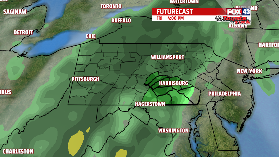
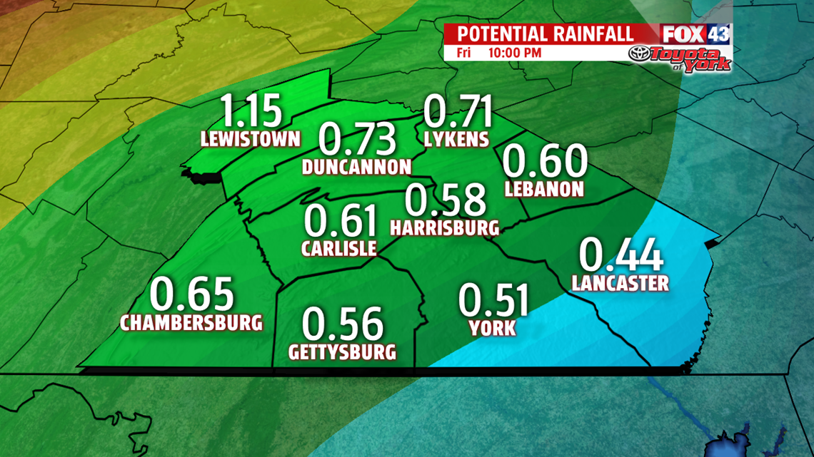
Friday is the best chance for wet weather. Amounts approach a half inch or more by Friday evening. Areas northwest may pick up even higher amounts close to an inch.

CHILLY WEEKEND OUTLOOK
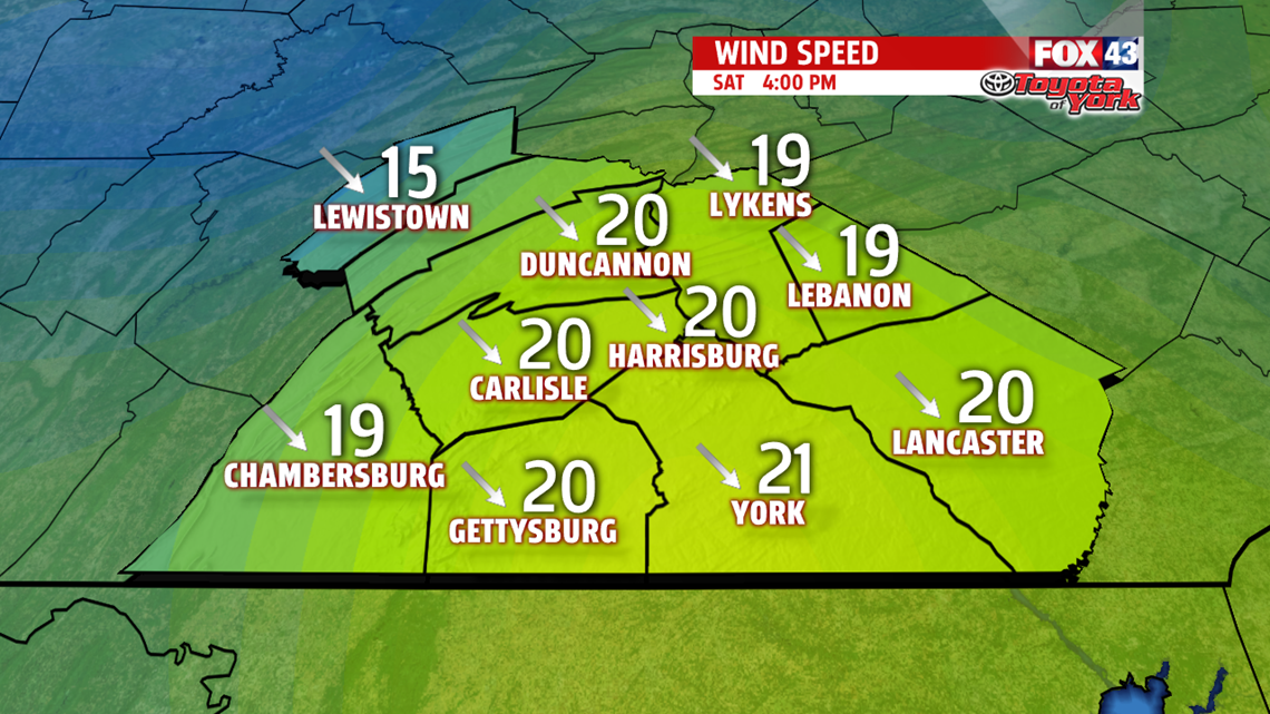
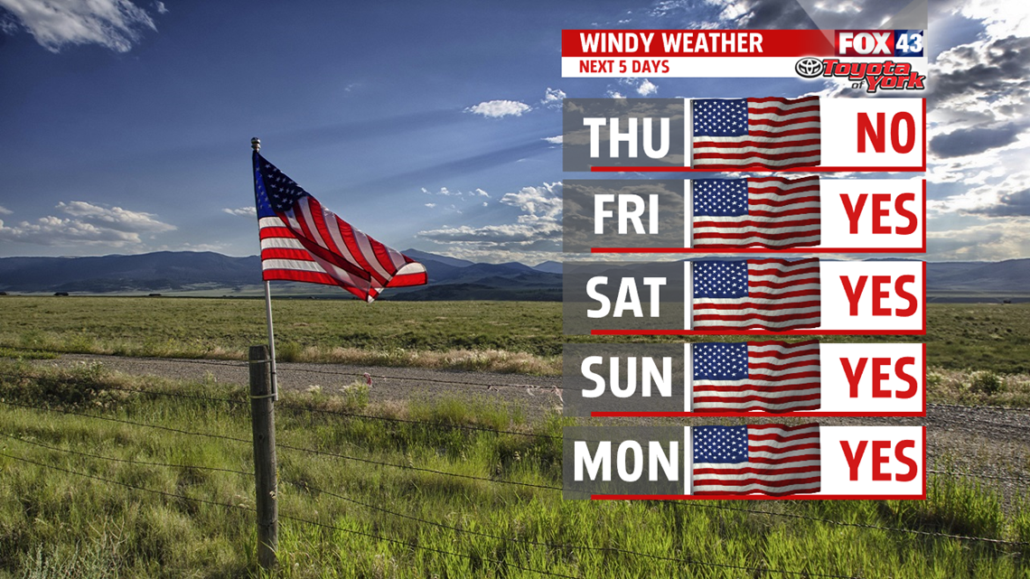
The weekend is much cooler, in fact, temperatures struggle to climb through the 50`s Saturday. Expect a Windy start with partly sunny skies. Sustained winds out of the northwest may exceed 20mph. Gust over 30mph possible. Can`t rule out a few sprinkles or a brief shower, especially northwest, but most of the area is expected to remain dry. By Sunday, with more sunshine mixing in and out of the clouds, temperatures are warmer in the upper 50s to near 60 degrees.


NEXT WEEK
Monday another front crosses early in the day with little moisture. Skies are partly cloudy with highs in the lower 60s. Temperatures drop back a few degrees Tuesday into the 50s despite more widespread sunshine and less cloud cover. Winds are expected to be much calmer. Temperatures recover into the lower 60s Wednesday under sunny skies.
Stay with FOX43 Weather for updated changes to the forecast through the rest of the week!
Have a good day!
MaryEllen Pann,
Chief Meteorologist