

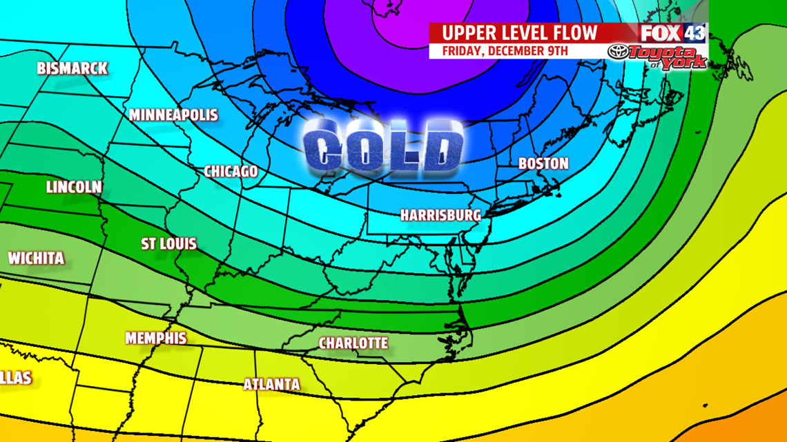
COOL END TO THE WEEK
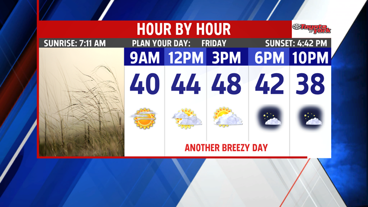
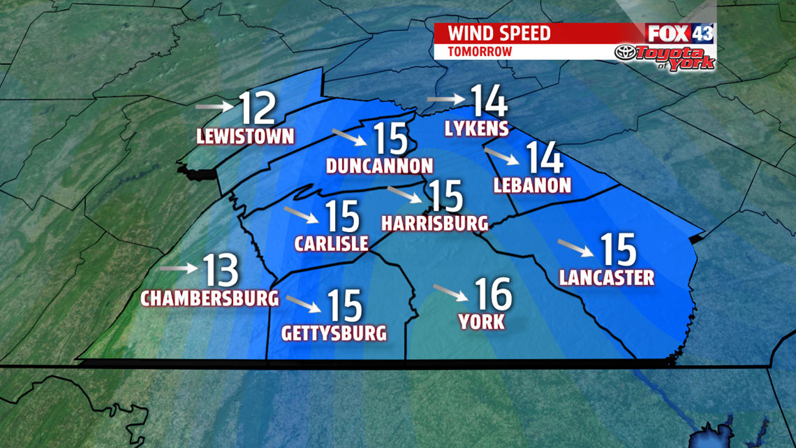
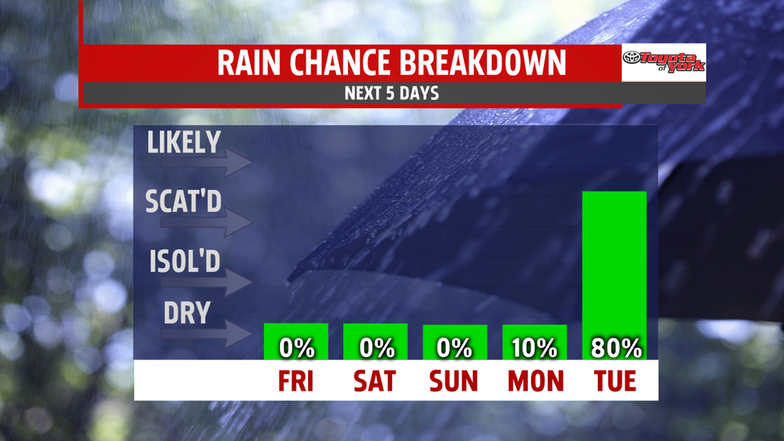
Another dry to end the week and it’s cool too. Highs expected in the middle and upper 40s under partly sunny skies. The breeze may kick up a bit too.

WEEKEND OUTLOOK
High pressure builds in Saturday relaxing the breeze. Clouds still mix with some sunshine and temperatures stay pretty uniform in the middle and upper 40s both days. We are still watching a system for the second half of the weekend. Looks like high pressure brings some sunshine for Sunday, however, temperatures are chilly in the middle 40s.

UNSETTLED NEXT WEEK

We start the week dry Monday. Intervals of clouds will mix with sunshine and highs are seasonable in the upper 40s. Late evening the clouds thicken and a light wintry mix is possible as our next system approaches. Most of the moisture is in the form of rain as milder air pushes into the area changing any wintry mix over to all rain for the day. We are in between systems Wednesday but the clouds linger with highs near 50 degrees.

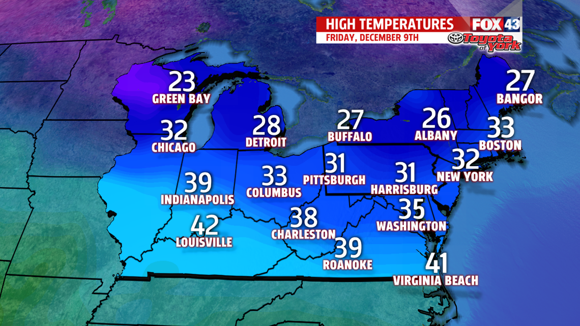
Significant changes expected Thursday as a more potent storm system arrives. We start out with rain but a chance to snow is likely as temperatures plunge from the 40s to the 30s. By Friday, an Arctic chill is in place with morning lows in the 20s and highs stuck in the 30s!
Stay with FOX43 Weather for updated changes to the forecast through the rest of the week!
Have a good day!
MaryEllen Pann,
Chief Meteorologist
