

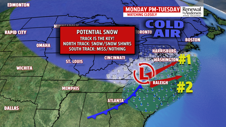

CLOSE CALL: Our next storm system makes Central PA the target of it’s next close call. The slightest change in track will decide what, if any precipitation we see. Right now, current models project light snowfall for the eastern half of our area with little accumulation. Snow will fall to the east of our area, but we’ll be keeping an eye on it during the next 36 hours.

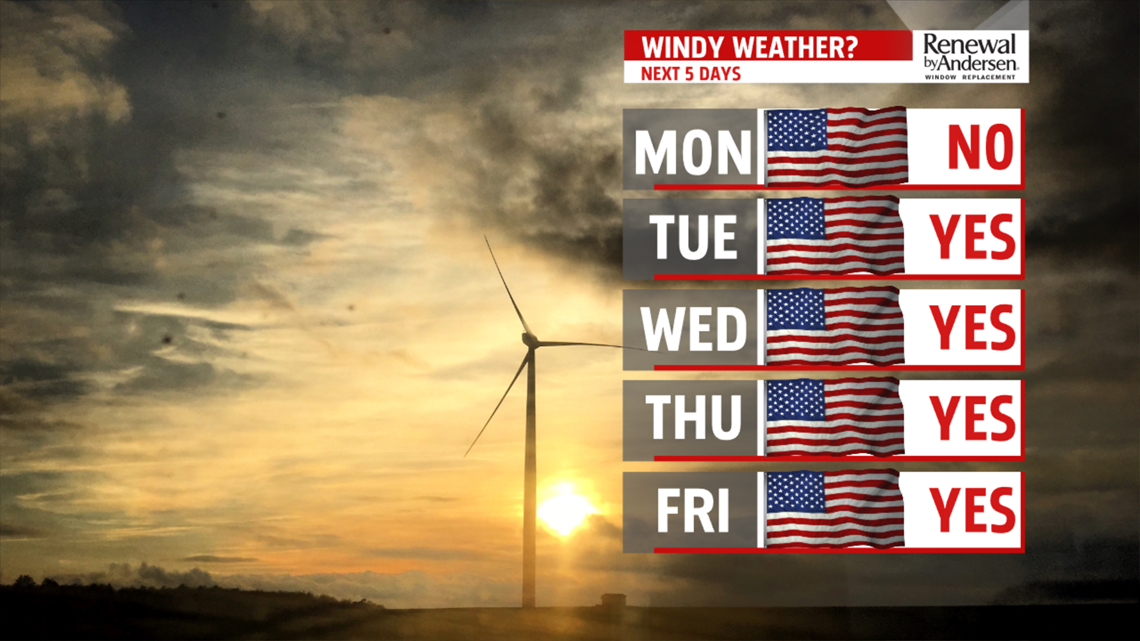
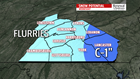
STAYING WINDY: After the storm system passes through, the wind returns for most of the week. Breezes will be constant at 10-15MPH with gusts up to 30MPH likely through Friday. Flurries are possible Tuesday and Wednesday morning with mostly cloudy skies both days. Skies begin to clear by Thursday with highs warming into the upper-40s and low-50s.
Have a great one!
-Meteorologist Bradon Long
