

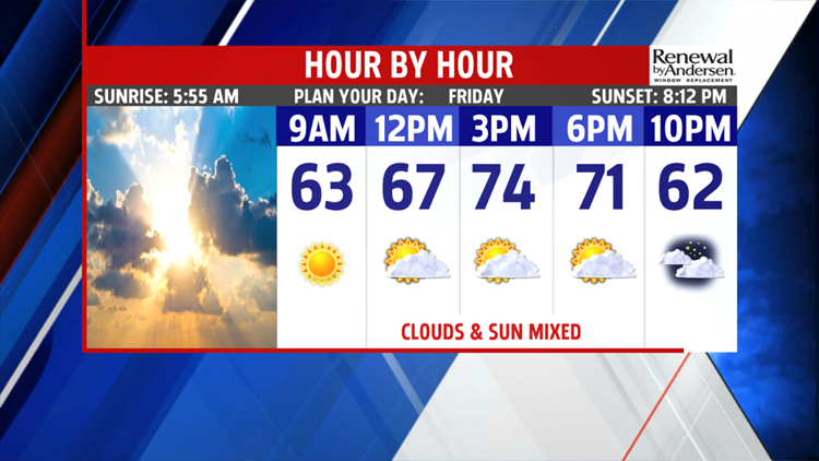


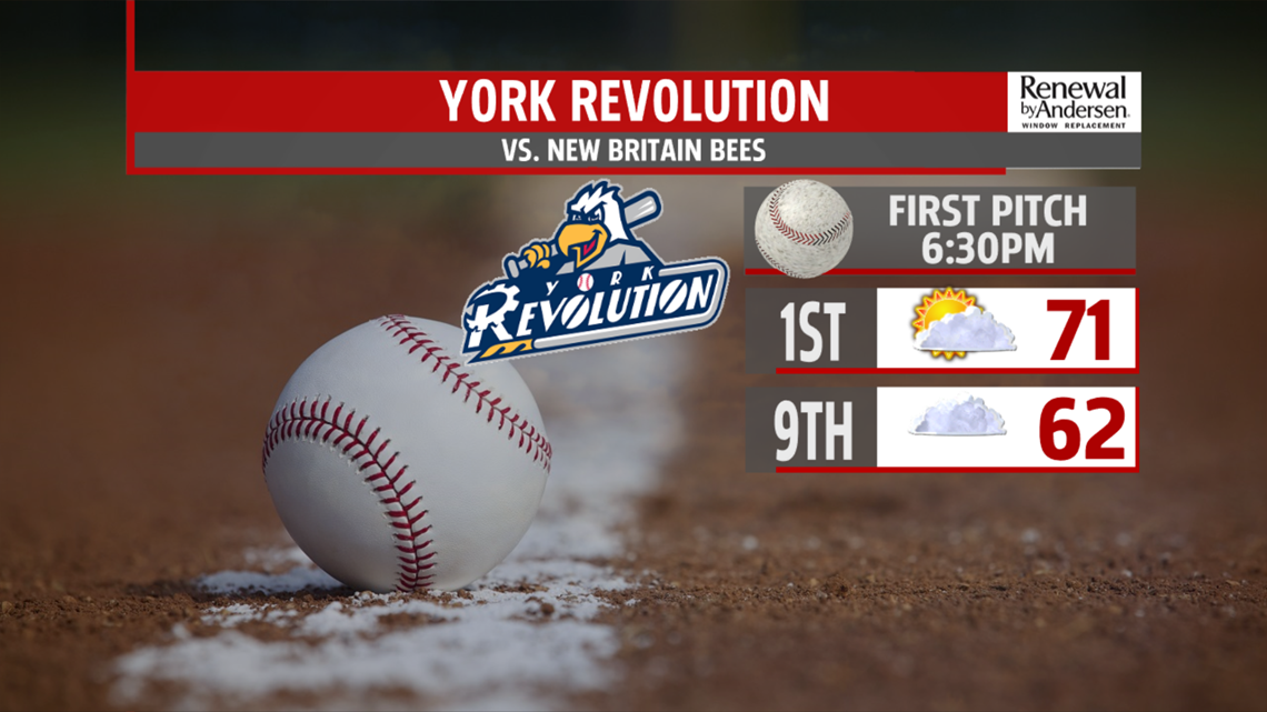
DRIER WITH MORE SUN FRIDAY: High pressure briefly builds in from the northwest for Friday. It helps push Thursday’s system south of the region, so drier weather is in store. Conditions are already drier and clearer for the morning hours. There are a few foggy or hazy spots. Expect temperatures to begin in the middle to upper 50s. The rest of Friday is nice under a mixture of sunshine and clouds. It’s a slightly cooler, but seasonable day. Temperatures are in the lower 70s for the region. Thursday’s system starts to lift north as a warm front through the night. Some clouds could build Friday evening, but it’s mainly dry for any plans. There’s a slight chance for an isolated shower. Through the night, clouds thicken more, and there’s the chance for some showers late and near daybreak as the front lifts north. Temperatures fall into the lower to middle 50s.


NEXT WEEK: Monday brings partly sunny skies. Temperatures remain in the 70s. Tuesday is partly cloudy with a chance for isolated thunderstorms. Temperatures start to warm again, and it turns muggy. You can expect readings to bounce back to near 80 degrees. Wednesday is similar. Skies are partly sunny, and the chance for isolated thunderstorms remains. Highs are near 80 degrees. Thursday brings a better chance for more widespread showers and thunderstorms. Readings are in the upper 70s to lower 80s.
Have a great weekend!
