
SOUTHERN LONDONDERRY TOWNSHIP, LEBANON COUNTY, Pa.- FEMA updates floodplain maps in Lebanon County. The updated map shows areas of the floodplain that have remained unchanged, removed, and added. However, it's leading to confusion among some people living near a floodplain.
"They might be required to have flood insurance if their structure is located within that the new floodplain," said Jenna Seesholtz, South Londonderry Township manager. "Also on the flip side, they might be able to cancel their flood insurance if they are removed from the floodplain."
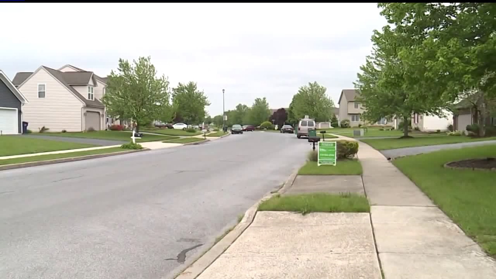
Seesholtz says every few years FEMA re-designates the floodplain in certain areas that see a lot of development. One area in the township that's seen an increase in development is the neighborhood on Barnwell Road. Some homes on the street have been added to the floodplain, while others have not.
"On the opposite side of the road right by the water would be affected," said Josh Harner, who lives near a new floodplain. 'It seems people on this side of the rod is hit or miss whether you're in the floodplain or not."
Harner has lived in his home on Barnwell Road for about three years. He found out Friday afternoon, his home is not included in the floodplain. With many parts of his neighborhood included in the map he's worried about what it could mean for the future of his home.
"I would imagine just trying to sell your house would be more difficult with being in a floodplain compared to not having that issue at all," said Harner."
Anyone with questions on the updated floodplain map can reach out to their township office for help. To view the updated floodplain map click here.