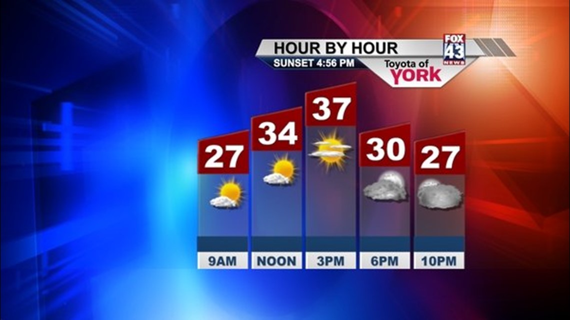
Morning clouds finally moved out allowing for a bright afternoon across lower central Pennsylvania. Temperatures responded nicely into the upper 30s but with the breezy winds, it felt much chillier.
TONIGHT
With clear skies and a lighter breeze, overnight lows should drop into the low to mid 20s tomorrow morning.
TOMORROW
We’ll start out with some fabulous weekend sunshine but the clouds return later in the day. Highs will warm into the mid and upper 30s. Winds will be lighter.
SATURDAY NIGHT
The next system moves in from the Great Lakes bringing clouds and the chance for light snow showers. Lows will drop into the mid 20s.
SUNDAY
Expect a cloud sun mix with more clouds than sunshine. Lingering morning flurries possible otherwise, it should be a quiet end to the weekend. Highs with the cloud cover will reach the mid 30s. There could be a few locations south a bit warmer into the upper 30s.
NEXT WEEK
Looks like a nice ridge in the upper levels builds in allowing for milder air to flow in across the area. We are headed to the 40s under plenty of sunshine for several days. Next chance for rain arrives Thursday.
Have a wonderful, relaxing weekend.
~MaryEllen Pann,
Chief Meteorologist
http://www.facebook.com/maryellenpannfox43
Twitter: @MaryEllenFox43