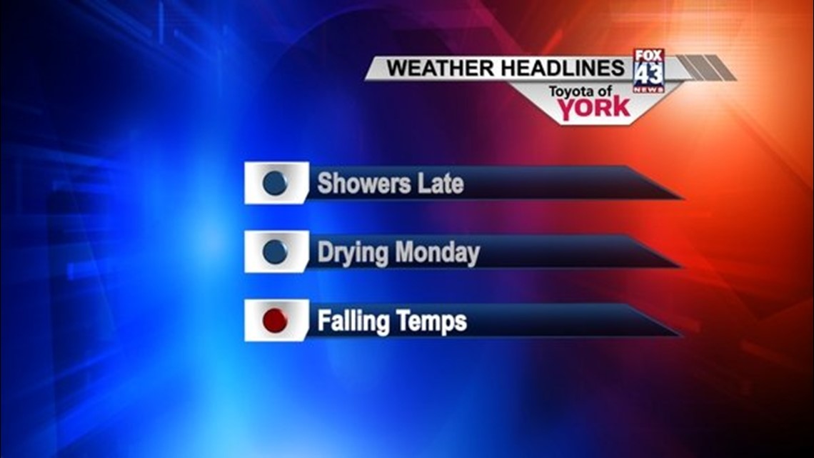
A slow moving cold front will continue to creep towards the area through the evening, bringing the chance for showers as we approach the late night hours. Temperatures will remain in the 40s, not budging much through the overnight period. Foggy areas will persist.
MONDAY
The cold front will sag to our south during the morning hours, allowing the showers to exit early in the day. Skies remain mainly cloudy in the wake of the front, but a few afternoon peeks of sunshine are possible in spots. Colder air working in behind the front will help temperatures gradually drop during the afternoon.
MONDAY NIGHT-WEDNESDAY
The slow moving front will stall just south of the area, and its proximity to us will likely bring some showers to us at times through Tuesday. Overnight Monday is the best chance to see any showers as some moisture tries to push north back into the area. With temperatures continuing to drop through the overnight, there is a small possibility some flakes will mix in. However, it will not be enough to bring accumulations of any significance. A morning shower could linger into Tuesday, otherwise it will be a mainly dry day with highs near 40 degrees. Wednesday will see partly cloudy skies as high pressure finally pushes back into the area. Highs will be in the lower to middle 40s.
END OF THE WEEK/WEEKEND
A brief shot of colder air will work into the area by week’s end, dropping temperatures into the upper 30s Thursday and Friday. Expect more sunshine Thursday than on Friday. The weekend will see a fair amount of sunshine, with temperatures back into the lower 40s.
Have a great week!
-Andrea Michaels