Awesome sunshine to end the week thanks to a high pressure system. It will slide to the east tonight shifting our winds more south-southwest, which will help to pull in milder air for the start of the weekend. Lows will still be quite cold in the low to mid 20s but near seasonal averages.
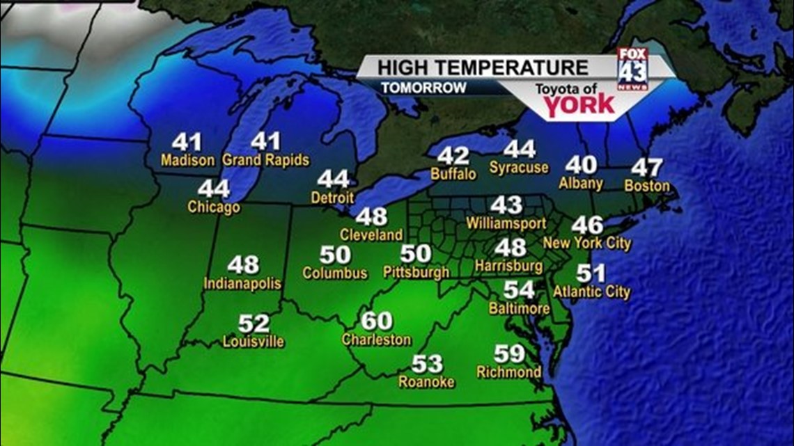
Enjoy Saturday, it will be the last mild day for awhile. Temperatures will get into the mid to upper 40s under plenty of bright sunshine.
An Arctic front is going to change things for us. Get ready for some much colder air to plunge into the area next week. Sunday will be the transition day. Front pushes south and temperatures will be falling through the day. Winds will be quite gusty. Highs should get into the upper 30s.
Crank the heat and grab extra blankets, Monday through Wednesday we will be dealing with much colder air. Overnight lows drop into the teens and afternoon highs will struggle through the 20s. Each day there could be a few light snow flurries or snow showers due to Lake Effect snow bands setting up with brisk northwesterly winds.
By Thursday, temperatures begin to moderate some. The next siginificant storm system may arrive Thursday night into Friday and could bring a chance for rain or snow showers depending on temperatures.
If you are heading to the Hershey Bears Outdoor Classic Hockey Game Sunday, bundle up. It will be perfectly cold for outdoor hockey!!! Puck drops at 6:30pm.
~MaryEllen Pann,
Chief Meteorologist
Facebook: maryellenpannfox43
Twitter: @MaryEllenFox43