Above average temperatures will prevail a little longer before an Arctic blast settles over the region. It will be the coldest air thus far this winter season. In the meantime, expect partly to mostly clear skies tonight with lows in the lower 30s.
SUNDAY
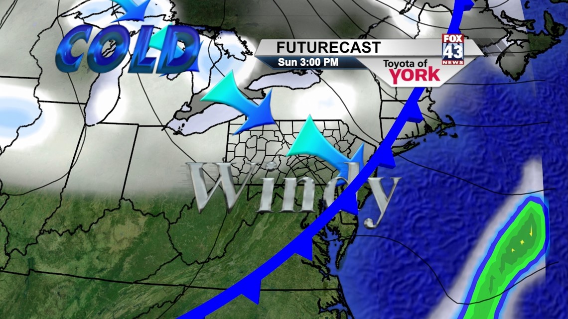
The cold front that’s expected to bring the drastic air mass change will work through the area. With some sunshine and an afternoon frontal passage expected, temperatures should be able to rise into the lower 40s for most locations. Late Sunday afternoon into the evening is when the cold air begins rushing into the area behind the front. Temperatures tumble all the way down into the lower 20s.
THROUGH MIDWEEK
Arctic air continues to pour into the region, with temperatures near 30 degrees on Monday. Partly sunny skies prevail. Flurries to light snow showers are expected as the Lake Effect machines begin churning, with the brunt of the action reserved for the northwestern counties. Temperatures will be even more frigid Tuesday and Wednesday, with highs only in the lower 20s. A few flurries are still possible, mainly northwest. Overnight lows will be brutally cold, in the lower to middle teens.
END OF WEEK
Temperatures slowly warm but still look to remain below average through the rest of the week. Thursday will be partly cloudy with temperatures near 30 degrees. A storm system is forecast the move through the area overnight Thursday into Friday, bringing the chance for snow and/or rain showers. Skies dry out by Saturday, with temperatures hovering near 30 degrees.
Enjoy the rest of your weekend!
-Andrea Michaels