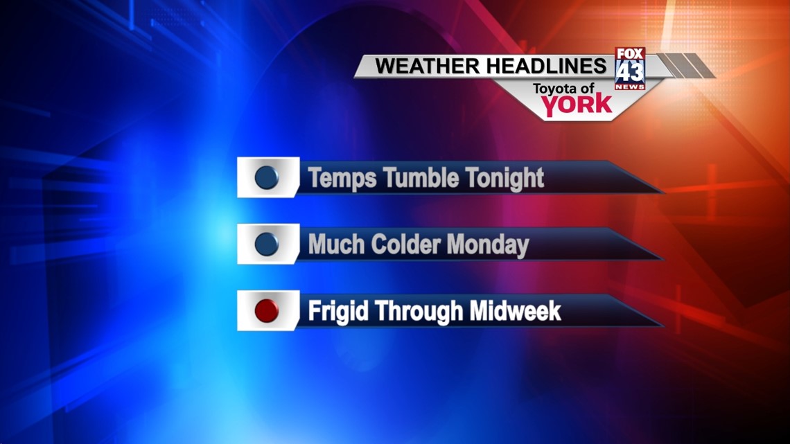
Temperatures will continue to tumble through the overnight, as an Arctic air mass moves in behind today’s cold front. Gusty winds will gradually relax through the night, temporarily. Some clouds will begin to move in late. Lows will reach the lower to middle 20s.
MONDAY-WEDNESDAY
The coldest air mass so far this winter season settles over the region, keeping high and low temperatures well below seasonable averages. Monday, cold air and northwesterly winds help produce lake effect snow showers as a weak disturbance pushes through the area. The brunt of the snow shower activity will be to the northwest, and accumulations are expected to be under an inch. Highs reach the upper 20s to lower 30s. Temperatures are more frigid come Tuesday and Wednesday, with highs in the lower to middle 20s. Some snow showers or flurries will still be possible. Expect overnight lows to be brutally cold, in the middle to upper teens!
LATE WEEK
Thursday will be fairly calm, with temperatures beginning to moderate. Expect partly cloudy skies with highs near 30 degrees. Overnight Thursday into Friday, our next storm system will head this way, bringing the chance for snow showers overnight Thursday, possibly changing over to rain early Friday morning.
WEEKEND
Cold air briefly returns Saturday with partly cloudy skies expected. Highs will be in the upper 20s. Sunday, the sunshine stays, and temperatures should warm back to more seasonable levels.
Have a great week!
-Andrea Michaels