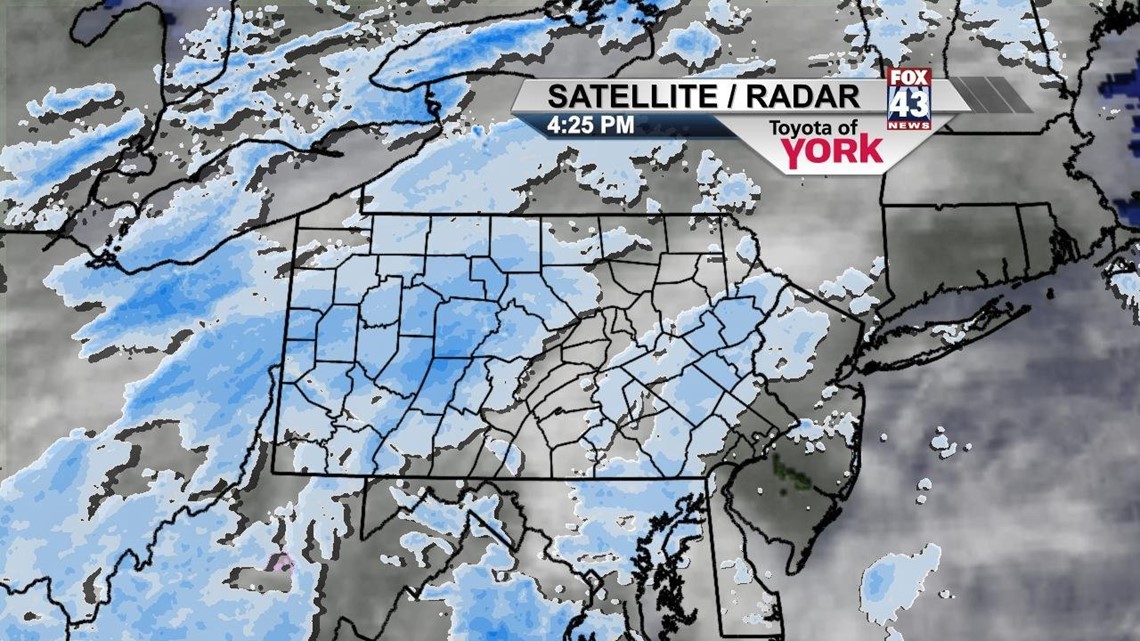
Light flurries and snow showers continue to move through the area during the evening and overnight hours, bringing very light accumulations across the area. Expect up to an inch through morning, just enough to make the roads a bit slick. Temperatures will fall slightly into the lower 20s, with a few colder locations dipping just below the 20 degree mark.
SUNDAY
Expect periods of light snow showers to persist as a weak disturbance continues to affect central Pennsylvania. Up to another half inch of snowfall is possible. Temperatures will warm into the lower to middle 30s.
THROUGH MIDWEEK
Monday will be dry and still below seasonable averages. Some sunshine will peek out, mainly during the morning hours before clouds move in ahead of another fast moving, weak system. This will bring the chance for some more light snow showers overnight Monday and into Tuesday. Highs will be in the lower to middle 30s. Wednesday, sunshine returns again, with highs back around average, in the upper 30s.
END OF WEEK
Central Pennsylvania continues to warm Thursday with a mixture of sunshine and clouds. Highs will reach the 40 degree mark. Friday a weak, moisture-starved system quickly moves through during the morning, bringing a few flurries. Then temperatures warm back to near 40 degrees. Saturday, sunshine continues with highs in the lower 40s.
Enjoy the rest of your weekend!
-Andrea Michaels