
COLD WEDNESDAY: The wacky weather form Tuesday is long gone, but we’re now left with the back side of a deepening low pressure system. This means strong west-northwesterly winds will pump in the cold air from Canada. We’re talking highs today struggling to reach the low 30s. But with strong winds at 15-25mph with higher gusts will make it feel like we’re in the teens today. Enough moisture is in place for flurries, especially to the northwest. Expect limited sunshine today too as the day progresses.
We don’t lose the winds in the evening, and we only relax them a bit overnight. Temps tonight will dip to near 20 degrees under partly cloudy skies with single digit chills. Thursday, we see sun again with less wind and temps rebounding into the middle and upper 30s.
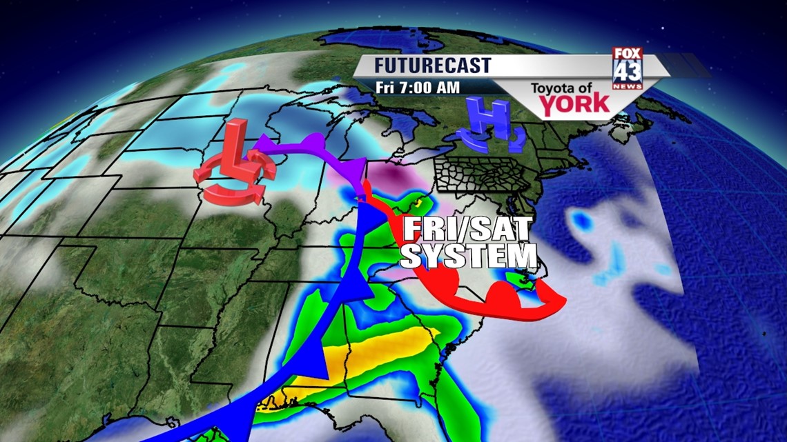
NEXT WINTRY MIX: We’re batting a thousand here with messy, confusing, wintry systems. Once again, Friday into Saturday will pose some questions as a storm system develops to our south. For now, the models paint a dry start to Friday with added clouds and temps in the upper 30s. Later in the day, we’ll see precip start as a rain to snow mix. This chance continues through the day Saturday, tapering early Sunday morning. Highs Saturday hit the low 40s.

BEYOND: We should clear out with a warming trend for Sunday into Monday. The next system is due Tuesday as rain, but it’s subject to change as well too!
Here’s to a wonderful Wednesday!
– Jeff Jumper, Fox43 Morning Meteorologist
Follow me on Twitter: @JeffJumperWX
Like me on Facebook: Jeff Jumper Fox43