
MILD A BIT LONGER

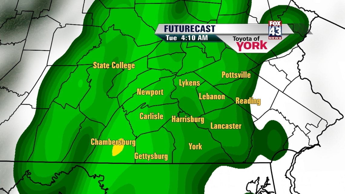
High pressure continues to control our weather, keeping the warmth and sunshine throughout Central PA. An approaching cold front begins to change that early this week. Tonight, we stay clear for most of the night, but clouds slowly begin to increase late as the cold front inches closer. Lows will dip into the 30s. Throughout the day Monday, clouds stick around as high pressure slides east and the front continues its easterly progress. Highs are once again mild, near 60 degrees. Overnight Monday, rain and breezy winds arrive and last through most of Tuesday morning. Rainfall totals range from a quarter to half an inch. Skies should clear out during the afternoon, allowing some sunshine to warm us back into the lower 50s. Wednesday cooler air begins to moves in, and there is the chance for a few showers. Highs are in the middle to upper 40s.
COOL ONCE MORE
Temperatures look to remain near or below seasonable averages through the rest of the week. Thursday is the coolest under partly cloudy skies, with highs near 40 degrees. It stays dry until the weekend, when a couple fast-moving disturbances move in from the west. There is the chance for a few showers, mostly on Sunday. Temperatures rise into the middle 40s by the weekend.
Have a great week!
-Andrea Michaels