
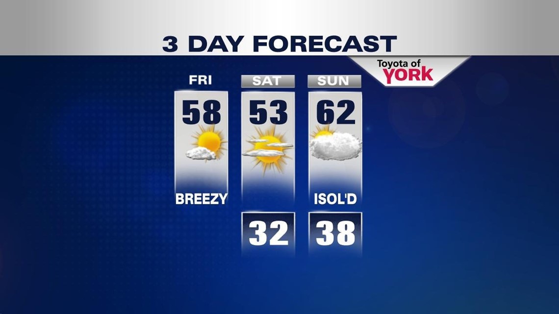
FIRST APRIL WEEKEND: Morning clouds give way to midday and afternoon sunshine. Any early morning drops are long gone as sun fills the sky today. It’s breezy as low pressure races off the eastern seaboard and high pressure builds in for Saturday.
Highs today will top out in the upper 50s and a cool northwesterly breeze kicks in during the afternoon. This will bring some slightly cooler air in for tonight and Saturday, but it’s very manageable. Highs Saturday will top out in the low to middle 50s. Expect sun early with clouds rolling in later ahead of another system. Sunday, we’re mainly cloudy as a weak surface low rides to our north. A stray shower is possible during the day but most stay dry. Best part: we’re milder with highs in the low 60s!

UNSETTLED AND UNCERTAIN: Beginning Sunday night, a warm front will near the state. This begins a pattern of what looks to be miler and unsettled weather. The location of the front and whether or not it stalls will be key to temperature and rain chance forecasting. Right now, it looks to push far enough north to put us in the warm air and to keep our rain chances minimal after it passes. However, much can change to what I’m about to write below. Stay tuned.
Sunday night into Monday, expect a few showers and generally cloudy skies. We’ll top out in the middle 60s for highs. Tuesday, the front lingers to our north so a few showers may develop during the day. Highs will top out in the upper 60s. Wednesday, we look to sit in the warm sector with partly to mostly cloudy skies again. It looks mainly dry for now too. Highs will top out in the low 70s if all pans out!
Thursday, a stronger front with some oomph to it will push through the state. This will bring the chance for our first thunderstorms of the year. Highs will be tricky depending on timing, but 60s are in the cards with some cooling on the backside to close out the week.
Have a fabulous weekend!!!
– Jeff Jumper, Fox43 Morning Meteorologist
Follow me on Twitter: @JeffJumperWX
Like me on Facebook: Jeff Jumper Fox43