
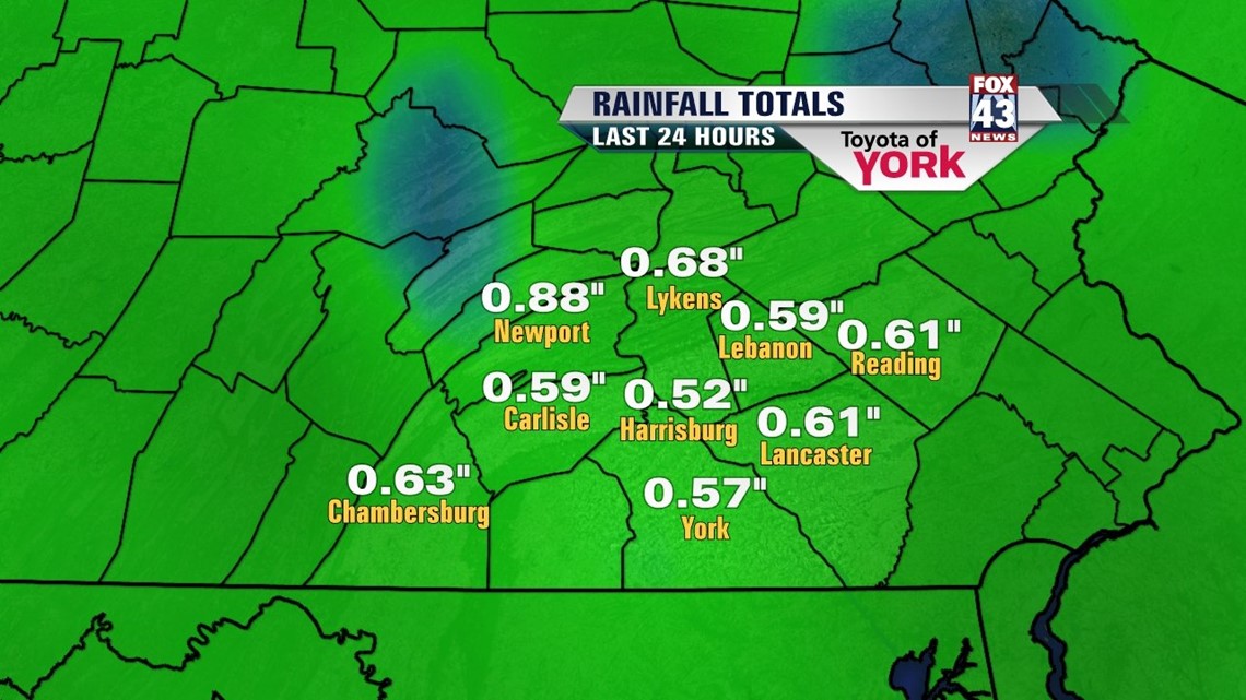
EVERY DROP HELPS
Today’s rain amounted to anywhere from a .25 of an inch to a little over a .50 of an inch. Certainly could use more but we dry out going into the evening. Rain chances do not return until mid-week next week.

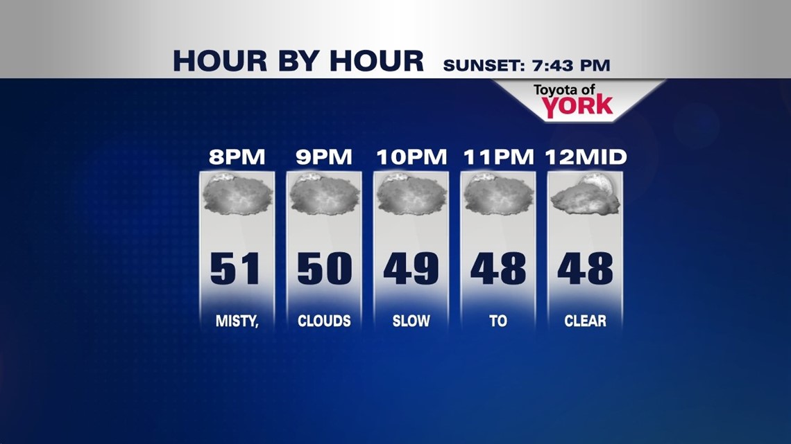
CLOUDS SLOW TO CLEAR
Cold front is half way through the state. Once it skirts off the coast this evening, colder air filters in. Lows tonight will drop to the 40s.

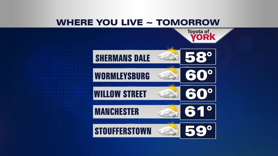
COOL AND BREEZY
We’ll start out with brief sunshine but the clouds will fill back in. An upper level low moving through the Great Lakes will keep things a bit unsettled for the start of the weekend but high pressure builds in quickly for Sunday bringing a day full of sunshine.
Highs this weekend will hover around 60 which is close to average for this time of the year.

70s RETURN
Next week it turns mild again. Highs will reach the low to mid 70s starting Tuesday. Showers and storms will return Wednesday through the end of the week as a series of frontal systems move through the area.
MaryEllen Pann, Chief Meteorologist
Like me on Facebook: maryellenpannfox43
Follow me on Twitter: @MaryEllenFox43