
CLOUDS RETURN

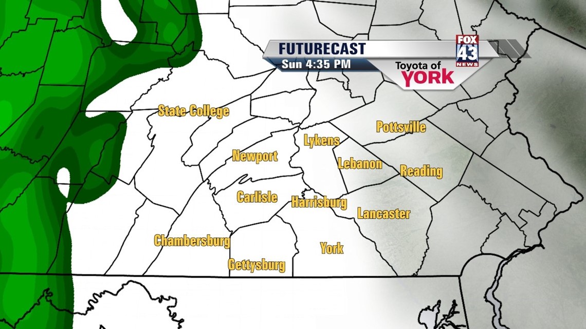
Skies remain high and dry across the region, but an approaching disturbance brings clouds back into the picture soon enough. The evening hours feature clear skies, but during the overnight hours, clouds being to build back into the Lower Susquehanna Valley. Sunday, the clouds continue to thicken, and most of us should stay dry. There is the chance for some late day showers, mainly west, as the weather disturbance approaches. It’s not until the evening hours that showers spread throughout the region. The clouds keep highs in the middle 60s.
UNSETTLED PATTERN FOR NEXT WEEK
The weak disturbance hovers across the area Monday through Wednesday, keeping showers in the forecast to begin the new workweek. Monday looks to be the rainiest day, but as the system weakens through midweek, showers become less numerous each day. Tuesday and Wednesday do not look like complete washouts at this point in time, with just a couple showers possible. Temperatures sit near or just below seasonable averages in the middle 60s. The long range forecast models are indicating the formation of a cut-off area of low pressure to form at the end of the week, and keep it far enough west so that Thursday through Saturday remain dry, with some sunshine and seasonable temperatures.
Have a great weekend!
-Andrea Michaels