
DRY A LITTLE LONGER

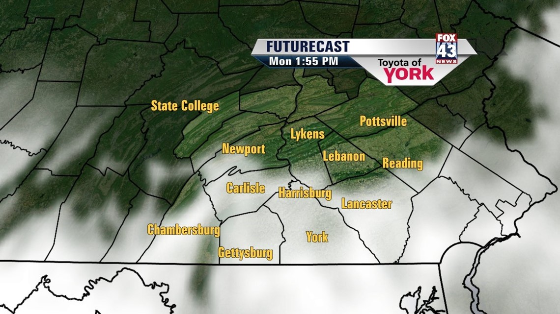
High pressure continues to have a strong hold over Central Pennsylvania, but soon enough clouds start to drift back in. The overnight period remains mostly clear, with yet another chilly night across the region. Expect low temperatures ranging from the upper 30s to middle 40s. A cut-off area of low pressure well to our southwest slowly drifts this way Monday, and this gradually increases our clouds, mainly during the afternoon hours. An east/southeasterly flow once again keeps temperatures below the 70 degree mark. High temperatures reach the middle to upper 60s.
SHOWERS RETURN
The slow-moving cut-off area of low pressure continues to drift this way Tuesday, introducing the chance for showers into the forecast. At this point Tuesday does not look like a washout, with plenty of dry time. Even some sunshine peeks out. Wednesday expect more widely scattered rain showers, with some locally heavy downpours possible. It is some much needed rainfall though, so it is more than welcome! Thursday, the area of low pressure begins to pull out to sea, leaving the chance for a couple showers, but overall it is a drying trend. Highs are stuck in the 60s Tuesday and Wednesday, with increasing sunshine bumping temperatures into the 70s on Thursday.
TURNING MILDER
Friday brings plenty of sunshine, with only a few passing clouds. Temperatures climb into the middle to upper 70s, making for a warm start to the weekend. Saturday, our next weather maker brings showers and a few thunderstorms, but high temperatures should still reach the 70s. Sunday still has a chance for some showers, with high temperatures near seasonable averages.
Have a great week!
-Andrea Michaels