
MOISTURE RETURNS
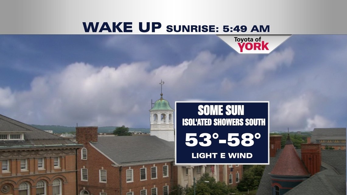
Onshore flow sets up tonight leading to the return of the clouds. A stationary front remains to our south but will slowly push back to the north as a warm front over the weekend. Overnight, clouds will stream in slowly lows will be mild in the mid 50s.

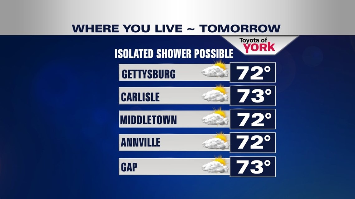
MOSTLY DRY SATURDAY
Clouds will thicken through the day and there is an isolated threat for a shower to pop up. Highs will be close to seasonal averages in the lower 70s.

RAIN CHANCES INCREASE SUNDAY
With the clouds in place and moisture continue to advect into the area, overnight lows will remain mild in the mid to upper 50s. Temperatures will be cooler in the upper 60s. Scattered showers will be possible throughout the day. There will be plenty of dry hours to get some running around done. Just keep the umbrella handy.
WARMER EARLY NEXT WEEK
Warm front pushes through Monday putting the area into the warm sector. Isolated showers and thunderstorms possible Monday and Tuesday but a better chance arrives Wednesday and Thursday as a cold front comes in and gets hung up across the area. Temperatures should get quite warm into the upper 70s and low 80s for a couple of days.
COOLER AND DRIER LATE WEEK
Strong surface high builds in towards the end of the week bringing cooler and drier conditions to the area. Highs will fall back to around 70°.
Hope you are enjoying your week.:)
MaryEllen Pann, Chief Meteorologist
Like me on Facebook: maryellenpannfox43
Follow me on Twitter: @MaryEllenFox43