

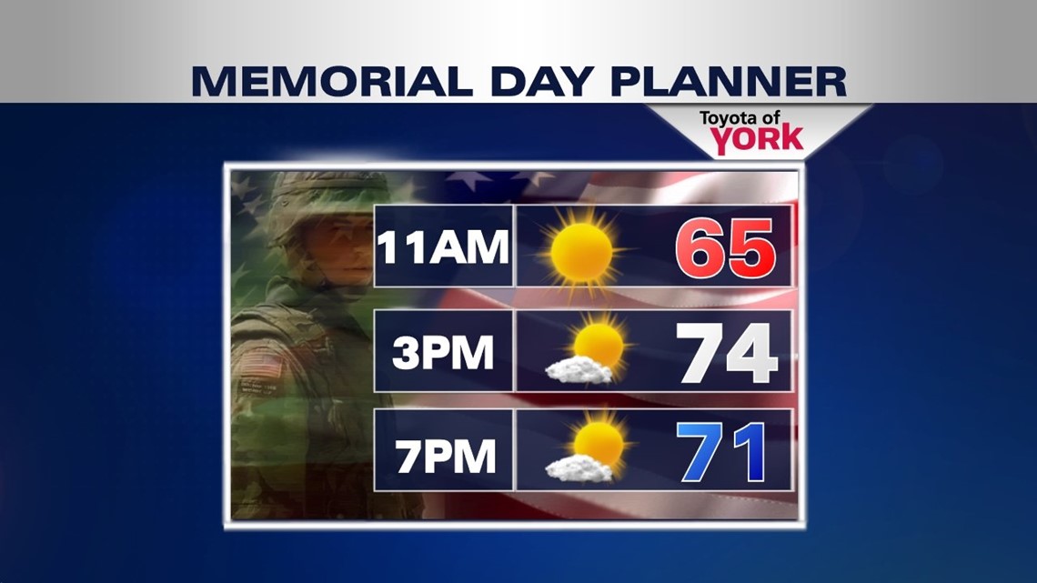
BACK TO SEASONABLE CONDITIONS

The extended weekend continues to improve each day, with plenty of sunshine to go along with it. The breezes finally subside this evening, with temperatures cooling back into the 40s yet again under clear skies. Expect plentiful sunshine for Memorial Day, with high pressure taking complete control of the weather. A few high clouds pour in during the late day hours with the approach of a warm front. Highs warm to seasonable averages, in the middle 70s.
MORE BIG CHANGES
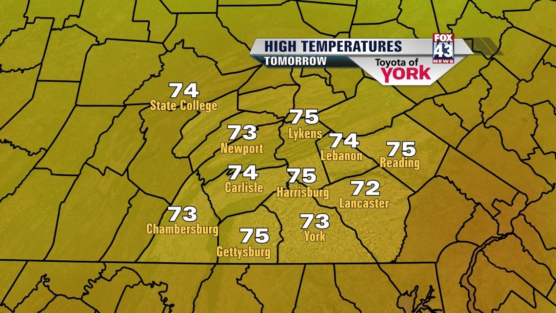
The warm front slips through the region Tuesday, and this brings the chance for some isolated showers and thunderstorms. High temperatures once again are in the 70s. Warmer air is ushered in Wednesday, and high temperatures reach the lower to middle 80s under abundant sunshine.
FIRST HEAT WAVE?
The warmest temperatures so far this year are expected as May turns to June. A strong ridge of high pressure takes form, bringing unseasonably hot temperatures and humid conditions to the region. Thursday’s highs are expected to near the 90 degree mark. Friday and Saturday lower 90s are likely for most. Sunday, we’ll be close again to the 90 degree mark depending on the exact setup. An approaching cold front brings the chance for late day thunderstorms, and if the timing is earlier, temperatures only reach the 80s. If we get at least three days in a row of 90 degree weather, it would be the first official heat wave of the year.
Enjoy the rest of the holiday weekend, and of course, a special remembrance to all who gave their lives to protect our nation!
-Andrea Michaels